Area Overview for LL13 8PG
Photos of LL13 8PG
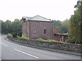
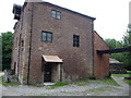
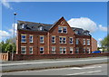
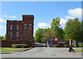
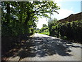
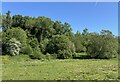
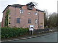
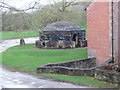
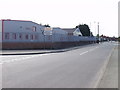
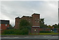
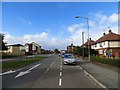
14 photos from this area
Area Information
Key information about the LL13 8PG including its size, population, and administrative classification.
- Area Type
- Postcode
- Area Size
- 5894 m²
- Population
- 1284
- Population Density
- 4977 people/km²
House Prices in LL13 8PG
28
Properties
£93,291
Average Sold Price
£32,000
Lowest Price
£140,000
Highest Price
Showing 28 properties
| Address | Type | Beds | Baths | Last Sale Price | Last Sale Date | |
|---|---|---|---|---|---|---|
| 12 St Johns Road, Wrexham, LL13 8PG | Semi-detached | 2 | 1 | £137,500 | Feb 2025 | |
| 23 St Johns Road, Wrexham, LL13 8PG | Terraced | 3 | - | £130,000 | Nov 2024 | |
| 8 St Johns Road, Wrexham, LL13 8PG | Semi-detached | 3 | 1 | £140,000 | Nov 2022 | |
| 17 St Johns Road, Wrexham, LL13 8PG | house | 2 | - | £96,650 | May 2019 | |
| 1 St Johns Road, Wrexham, LL13 8PG | Terraced | 2 | 1 | £140,000 | Dec 2018 | |
| 25 St Johns Road, Wrexham, LL13 8PG | house | - | - | £76,000 | Nov 2015 | |
| 19 St Johns Road, Wrexham, LL13 8PG | house | - | - | £105,000 | Nov 2015 | |
| 14 St Johns Road, Wrexham, LL13 8PG | house | - | - | £103,500 | Aug 2005 | |
| 24 St Johns Road, Wrexham, LL13 8PG | Semi-detached | - | - | £120,000 | Jun 2005 | |
| 6 St Johns Road, Wrexham, LL13 8PG | Semi-detached | - | - | £89,000 | Feb 2005 |
Page 1 of 3
Energy Efficiency in LL13 8PG
Amenities
Schools
| Rank | School | Type | Entry gender | Ages |
|---|
Explore more schools in this area
Go to Schools tabDemographics
Household Size
One person
most common
Accommodation Type
Houses
most common
Tenure
60
majority
Ethnic Group
White
most common
Religion
N/A
most common
Household Composition
N/A
most common
Age
47
median
Adults (30-64 years)
most common
Household Deprivation
N/A
with no deprivation
NS-SEC
19
in Lower managerial occupations
Explore more demographic insights in this area
Go to Demographics tabPlanning
Planning Constraints
- Flood RiskPremium
- Ramsar Wetland SitesPremium
- Area of Outstanding Natural BeautyPremium
- Protected Nature ReservePremium
- Protected WoodlandPremium
- Crime RiskPremium