Area Overview for LL13 0PH
Photos of LL13 0PH
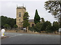
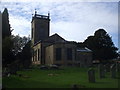
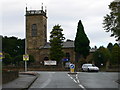
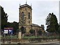
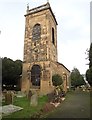
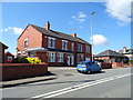
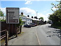
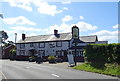
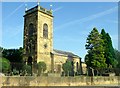
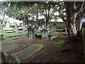
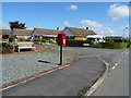
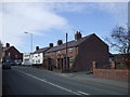
21 photos from this area
Area Information
Key information about the LL13 0PH including its size, population, and administrative classification.
- Area Type
- Postcode
- Area Size
- 11.4 hectares
- Population
- 1038
- Population Density
- 339 people/km²
House Prices in LL13 0PH
6
Properties
£170,500
Average Sold Price
£170,500
Lowest Price
£170,500
Highest Price
Showing 6 properties
| Address | Type | Beds | Baths | Last Sale Price | Last Sale Date | |
|---|---|---|---|---|---|---|
| The Bungalow, Wrexham Road, Marchwiel, Wrexham, LL13 0PH | Detached | - | - | £170,500 | Jan 2008 | |
| Providence House, Wrexham Road, Marchwiel, Wrexham, LL13 0PH | Detached | - | - | - | - | |
| Glenthorne, Wrexham Road, Marchwiel, Wrexham, LL13 0PH | Semi-detached | - | - | - | - | |
| Rowan Croft, Wrexham Road, Marchwiel, Wrexham, LL13 0PH | Semi-detached | - | - | - | - | |
| Managers Accommodation, Red Lion Inn, Wrexham Road, Marchwiel, Wrexham, LL13 0PH | Leisure | - | - | - | - | |
| Red Lion Inn, Wrexham Road, Marchwiel, Wrexham, LL13 0PH | restaurant_cafe | - | - | - | - |
Energy Efficiency in LL13 0PH
Amenities
Schools
| Rank | School | Type | Entry gender | Ages |
|---|
Explore more schools in this area
Go to Schools tabDemographics
Household Size
Two person
most common
Accommodation Type
Houses
most common
Tenure
73
majority
Ethnic Group
White
most common
Religion
N/A
most common
Household Composition
N/A
most common
Age
47
median
Adults (30-64 years)
most common
Household Deprivation
N/A
with no deprivation
NS-SEC
32
in Lower managerial occupations
Explore more demographic insights in this area
Go to Demographics tabPlanning
Planning Constraints
- Flood RiskPremium
- Ramsar Wetland SitesPremium
- Area of Outstanding Natural BeautyPremium
- Protected Nature ReservePremium
- Protected WoodlandPremium
- Crime RiskPremium