Area Overview for LL12 8SW
Photos of LL12 8SW
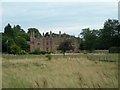

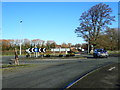
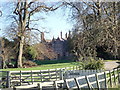
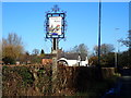
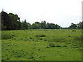
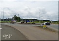
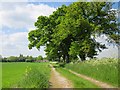
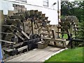
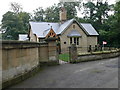
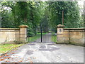
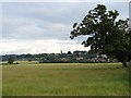
18 photos from this area
Area Information
Key information about the LL12 8SW including its size, population, and administrative classification.
- Area Type
- Postcode
- Area Size
- 12.5 hectares
- Population
- 2153
- Population Density
- 686 people/km²
House Prices in LL12 8SW
22
Properties
£283,542
Average Sold Price
£145,950
Lowest Price
£467,000
Highest Price
Showing 22 properties
| Address | Type | Beds | Baths | Last Sale Price | Last Sale Date | |
|---|---|---|---|---|---|---|
| Greenfields, Marford Hill, Marford, Wrexham, LL12 8SW | Bungalow | 3 | 2 | £250,926 | Oct 2021 | |
| 33 Marford Hill, Marford, Wrexham, LL12 8SW | Detached | 4 | 2 | £390,000 | Apr 2021 | |
| 29 Marford Hill, Marford, Wrexham, LL12 8SW | house | - | - | £467,000 | Jul 2019 | |
| 31 Marford Hill, Marford, Wrexham, LL12 8SW | Detached | 4 | 2 | £360,000 | Aug 2016 | |
| Holly Cottage, Marford Hill, Marford, Wrexham, LL12 8SW | house | 3 | - | £350,000 | Oct 2013 | |
| Beech Cottage, Marford Hill, Marford, Wrexham, LL12 8SW | house | 2 | 2 | £285,000 | Jun 2012 | |
| Manor Bank, Marford Hill, Marford, Wrexham, LL12 8SW | Detached | - | - | £157,000 | Nov 1999 | |
| Ivy Cottage, Marford Hill, Marford, Wrexham, LL12 8SW | Detached | 4 | 1 | £145,950 | May 1998 | |
| Oak House, Marford Hill, Marford, Wrexham, LL12 8SW | Detached | - | - | £146,000 | Mar 1995 | |
| Beechmount, Marford Hill, Marford, Wrexham, LL12 8SW | house | 4 | 2 | - | - |
Page 1 of 3
Energy Efficiency in LL12 8SW
Amenities
Schools
| Rank | School | Type | Entry gender | Ages |
|---|
Explore more schools in this area
Go to Schools tabDemographics
Household Size
Two person
most common
Accommodation Type
Houses
most common
Tenure
92
majority
Ethnic Group
White
most common
Religion
N/A
most common
Household Composition
N/A
most common
Age
47
median
Adults (30-64 years)
most common
Household Deprivation
N/A
with no deprivation
NS-SEC
48
in Lower managerial occupations
Explore more demographic insights in this area
Go to Demographics tabPlanning
Planning Constraints
- Flood RiskPremium
- Ramsar Wetland SitesPremium
- Area of Outstanding Natural BeautyPremium
- Protected Nature ReservePremium
- Protected WoodlandPremium
- Crime RiskPremium