Area Overview for LL12 0TN
Photos of LL12 0TN
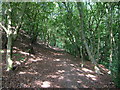
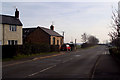
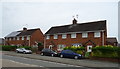
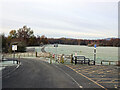
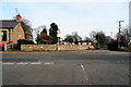
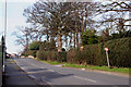
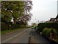
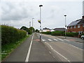
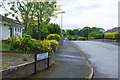
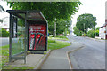
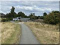
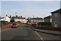
15 photos from this area
Area Information
Key information about the LL12 0TN including its size, population, and administrative classification.
- Area Type
- Postcode
- Area Size
- 2.7 hectares
- Population
- 1735
- Population Density
- 275 people/km²
House Prices in LL12 0TN
29
Properties
£102,471
Average Sold Price
£13,735
Lowest Price
£216,000
Highest Price
Showing 29 properties
| Address | Type | Beds | Baths | Last Sale Price | Last Sale Date | |
|---|---|---|---|---|---|---|
| 46 First Avenue, Llay, Wrexham, LL12 0TN | house | - | - | £120,000 | Apr 2025 | |
| 49 First Avenue, Llay, Wrexham, LL12 0TN | Retail | 3 | 1 | £140,000 | Oct 2022 | |
| 39 First Avenue, Llay, Wrexham, LL12 0TN | house | - | - | £123,000 | Feb 2020 | |
| 54 First Avenue, Llay, Wrexham, LL12 0TN | Terraced | 3 | 1 | £96,500 | Apr 2015 | |
| 38 First Avenue, Llay, Wrexham, LL12 0TN | house | - | - | £125,000 | Oct 2010 | |
| Buck House, First Avenue, Llay, Wrexham, LL12 0TN | Detached | - | - | £216,000 | Dec 2007 | |
| 41 First Avenue, Llay, Wrexham, LL12 0TN | house | - | - | £102,500 | Aug 2005 | |
| 43 First Avenue, Llay, Wrexham, LL12 0TN | house | - | - | £96,950 | May 2004 | |
| 64 First Avenue, Llay, Wrexham, LL12 0TN | house | - | - | £58,000 | Sep 2001 | |
| 45 First Avenue, Llay, Wrexham, LL12 0TN | house | - | - | £13,735 | Oct 1998 |
Page 1 of 3
Energy Efficiency in LL12 0TN
Amenities
Schools
| Rank | School | Type | Entry gender | Ages |
|---|
Explore more schools in this area
Go to Schools tabDemographics
Household Size
Two person
most common
Accommodation Type
Houses
most common
Tenure
84
majority
Ethnic Group
White
most common
Religion
N/A
most common
Household Composition
N/A
most common
Age
47
median
Adults (30-64 years)
most common
Household Deprivation
N/A
with no deprivation
NS-SEC
36
in Lower managerial occupations
Explore more demographic insights in this area
Go to Demographics tabPlanning
Planning Constraints
- Flood RiskPremium
- Ramsar Wetland SitesPremium
- Area of Outstanding Natural BeautyPremium
- Protected Nature ReservePremium
- Protected WoodlandPremium
- Crime RiskPremium