Area Overview for LL12 0QW
Photos of LL12 0QW
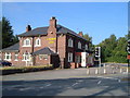
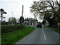
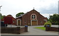
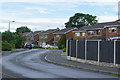
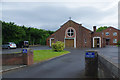
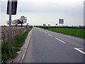
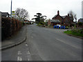
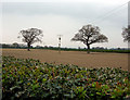
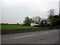
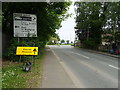
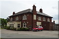
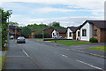
17 photos from this area
Area Information
Key information about the LL12 0QW including its size, population, and administrative classification.
- Area Type
- Postcode
- Area Size
- 1.6 hectares
- Population
- 1735
- Population Density
- 275 people/km²
House Prices in LL12 0QW
31
Properties
£298,929
Average Sold Price
£241,995
Lowest Price
£364,995
Highest Price
Showing 31 properties
| Address | Type | Beds | Baths | Last Sale Price | Last Sale Date | |
|---|---|---|---|---|---|---|
| 47 Carlton Meadows, Llay, Wrexham, LL12 0QW | Detached | 4 | 3 | £352,800 | Nov 2024 | |
| 91 Carlton Meadows, Llay, Wrexham, LL12 0QW | Detached | 4 | 2 | £310,000 | Apr 2023 | |
| 71 Carlton Meadows, Llay, Wrexham, LL12 0QW | house | - | - | £314,995 | Mar 2023 | |
| 73 Carlton Meadows, Llay, Wrexham, LL12 0QW | house | - | - | £364,995 | Mar 2023 | |
| 75 Carlton Meadows, Llay, Wrexham, LL12 0QW | house | - | - | £329,995 | Mar 2023 | |
| 77 Carlton Meadows, Llay, Wrexham, LL12 0QW | house | - | - | £349,995 | Mar 2023 | |
| 81 Carlton Meadows, Llay, Wrexham, LL12 0QW | house | - | - | £274,995 | Feb 2023 | |
| 103 Carlton Meadows, Llay, Wrexham, LL12 0QW | house | - | - | £344,995 | Jan 2023 | |
| 63 Carlton Meadows, Llay, Wrexham, LL12 0QW | house | - | - | £302,995 | Jul 2022 | |
| 51 Carlton Meadows, Llay, Wrexham, LL12 0QW | house | - | - | £303,995 | Jul 2022 |
Page 1 of 4
Energy Efficiency in LL12 0QW
Amenities
Schools
| Rank | School | Type | Entry gender | Ages |
|---|
Explore more schools in this area
Go to Schools tabDemographics
Household Size
Two person
most common
Accommodation Type
Houses
most common
Tenure
84
majority
Ethnic Group
White
most common
Religion
N/A
most common
Household Composition
N/A
most common
Age
47
median
Adults (30-64 years)
most common
Household Deprivation
N/A
with no deprivation
NS-SEC
36
in Lower managerial occupations
Explore more demographic insights in this area
Go to Demographics tabPlanning
Planning Constraints
- Flood RiskPremium
- Ramsar Wetland SitesPremium
- Area of Outstanding Natural BeautyPremium
- Protected Nature ReservePremium
- Protected WoodlandPremium
- Crime RiskPremium