Area Overview for LL12 0PX
Photos of LL12 0PX
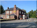
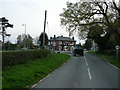
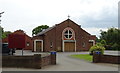
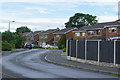
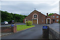
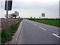
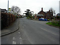
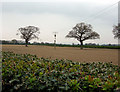
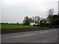
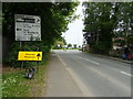
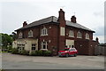
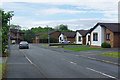
17 photos from this area
Area Information
Key information about the LL12 0PX including its size, population, and administrative classification.
- Area Type
- Postcode
- Area Size
- 5.5 hectares
- Population
- 1735
- Population Density
- 275 people/km²
House Prices in LL12 0PX
7
Properties
-
Average Sold Price
-
Lowest Price
-
Highest Price
Showing 7 properties
| Address | Type | Beds | Baths | Last Sale Price | Last Sale Date | |
|---|---|---|---|---|---|---|
| Carlton Garden Centre, Pinfold Lane, Llay Industrial Estate, Llay, LL12 0PX | retail_financial | - | - | - | - | |
| Star County Textile Services, Unit 2 Rear Of 1 To 5, Pinfold Lane, Llay Industrial Estate, Llay, LL12 0PX | warehouse | - | - | - | - | |
| Unit 12, Pinfold Lane, Llay Industrial Estate, Llay, LL12 0PX | general_industrial | - | - | - | - | |
| Star County Textile Services, Unit 1 Rear Of 1 To 5, Pinfold Lane, Llay Industrial Estate, Llay, LL12 0PX | Industrial | - | - | - | - | |
| Country Style Kitchens, Unit 2 Off, Pinfold Lane, Llay Industrial Estate, Llay, LL12 0PX | Industrial | - | - | - | - | |
| Aph Signs, Unit 1 And Rear Of Unit 2 Off, Pinfold Lane, Llay Industrial Estate, Llay, LL12 0PX | Industrial | - | - | - | - | |
| First Floor, Unit 1 Off, Pinfold Lane, Llay Industrial Estate, Llay, LL12 0PX | Office | - | - | - | - |
Energy Efficiency in LL12 0PX
Amenities
Schools
| Rank | School | Type | Entry gender | Ages |
|---|
Explore more schools in this area
Go to Schools tabDemographics
Household Size
Two person
most common
Accommodation Type
Houses
most common
Tenure
84
majority
Ethnic Group
White
most common
Religion
N/A
most common
Household Composition
N/A
most common
Age
47
median
Adults (30-64 years)
most common
Household Deprivation
N/A
with no deprivation
NS-SEC
36
in Lower managerial occupations
Explore more demographic insights in this area
Go to Demographics tabPlanning
Planning Constraints
- Flood RiskPremium
- Ramsar Wetland SitesPremium
- Area of Outstanding Natural BeautyPremium
- Protected Nature ReservePremium
- Protected WoodlandPremium
- Crime RiskPremium