Area Overview for LL11 2SA
Photos of LL11 2SA
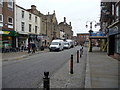
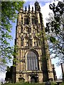
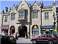
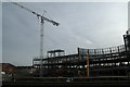
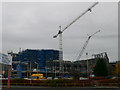
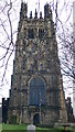
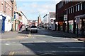
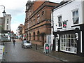
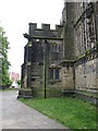
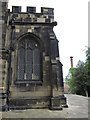
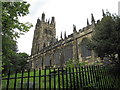
100 photos from this area
Area Information
Key information about the LL11 2SA including its size, population, and administrative classification.
- Area Type
- Postcode
- Area Size
- 1.1 hectares
- Population
- 1937
- Population Density
- 2857 people/km²
House Prices in LL11 2SA
15
Properties
£317,500
Average Sold Price
£310,000
Lowest Price
£325,000
Highest Price
Showing 15 properties
| Address | Type | Beds | Baths | Last Sale Price | Last Sale Date | |
|---|---|---|---|---|---|---|
| 18 Chester Road, Wrexham, LL11 2SA | house | - | - | £325,000 | Feb 2022 | |
| 16 Chester Road, Wrexham, LL11 2SA | Semi-detached | 4 | 3 | £310,000 | Mar 2017 | |
| Pinefold Ltd, Emral House, 11 Chester Road, Wrexham, LL11 2SA | Retirement | - | - | - | - | |
| Middle Flat, 26 Chester Road, Wrexham, LL11 2SA | Flat | - | - | - | - | |
| Bottom Flat, 26 Chester Road, Wrexham, LL11 2SA | Flat | - | - | - | - | |
| Apartment 3, 14 Chester Road, Wrexham, LL11 2SA | Flat | - | - | - | - | |
| Apartment 1, 14 Chester Road, Wrexham, LL11 2SA | Flat | - | - | - | - | |
| Apartment 2, 14 Chester Road, Wrexham, LL11 2SA | Flat | - | - | - | - | |
| Apartment 4, 14 Chester Road, Wrexham, LL11 2SA | Flat | - | - | - | - | |
| Rowlands Pharmacy, 26-28 Chester Road, Wrexham, LL11 2SA | commercial | - | - | - | - |
Page 1 of 2
Energy Efficiency in LL11 2SA
Amenities
Schools
| Rank | School | Type | Entry gender | Ages |
|---|
Explore more schools in this area
Go to Schools tabDemographics
Household Size
Two person
most common
Accommodation Type
Houses
most common
Tenure
68
majority
Ethnic Group
White
most common
Religion
N/A
most common
Household Composition
N/A
most common
Age
47
median
Adults (30-64 years)
most common
Household Deprivation
N/A
with no deprivation
NS-SEC
28
in Lower managerial occupations
Explore more demographic insights in this area
Go to Demographics tabPlanning
Planning Constraints
- Flood RiskPremium
- Ramsar Wetland SitesPremium
- Area of Outstanding Natural BeautyPremium
- Protected Nature ReservePremium
- Protected WoodlandPremium
- Crime RiskPremium