Area Overview for LL11 2RH
Photos of LL11 2RH
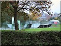
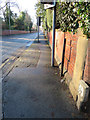
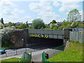
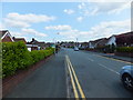
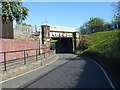
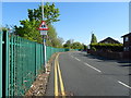
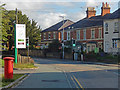
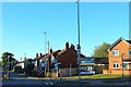
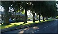
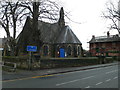
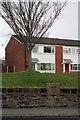
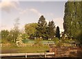
26 photos from this area
Area Information
Key information about the LL11 2RH including its size, population, and administrative classification.
- Area Type
- Postcode
- Area Size
- 2.6 hectares
- Population
- 1976
- Population Density
- 3514 people/km²
House Prices in LL11 2RH
47
Properties
£154,636
Average Sold Price
£55,500
Lowest Price
£299,950
Highest Price
Showing 47 properties
| Address | Type | Beds | Baths | Last Sale Price | Last Sale Date | |
|---|---|---|---|---|---|---|
| 50 Buckingham Road, Wrexham, LL11 2RH | Semi-detached | 2 | 2 | £230,000 | Nov 2024 | |
| 48 Buckingham Road, Wrexham, LL11 2RH | Bungalow | 2 | 1 | £225,000 | Oct 2024 | |
| 16 Buckingham Road, Wrexham, LL11 2RH | Bungalow | 2 | 1 | £220,000 | Aug 2023 | |
| 5 Buckingham Road, Wrexham, LL11 2RH | house | - | - | £230,000 | Feb 2023 | |
| 52 Buckingham Road, Wrexham, LL11 2RH | Detached | 3 | 1 | £299,950 | Dec 2021 | |
| 29 Buckingham Road, Wrexham, LL11 2RH | Bungalow | 3 | - | £220,000 | Oct 2021 | |
| 20 Buckingham Road, Wrexham, LL11 2RH | Bungalow | 2 | 1 | £200,000 | Mar 2021 | |
| 30 Buckingham Road, Wrexham, LL11 2RH | Semi-detached | 3 | 2 | £163,000 | Jul 2020 | |
| 22 Buckingham Road, Wrexham, LL11 2RH | Semi-detached | 2 | 1 | £186,000 | Aug 2019 | |
| 54 Buckingham Road, Wrexham, LL11 2RH | Detached | 3 | - | £235,000 | Nov 2016 |
Page 1 of 5
Energy Efficiency in LL11 2RH
Amenities
Schools
| Rank | School | Type | Entry gender | Ages |
|---|
Explore more schools in this area
Go to Schools tabDemographics
Household Size
Two person
most common
Accommodation Type
Houses
most common
Tenure
86
majority
Ethnic Group
White
most common
Religion
N/A
most common
Household Composition
N/A
most common
Age
47
median
Adults (30-64 years)
most common
Household Deprivation
N/A
with no deprivation
NS-SEC
38
in Lower managerial occupations
Explore more demographic insights in this area
Go to Demographics tabPlanning
Planning Constraints
- Flood RiskPremium
- Ramsar Wetland SitesPremium
- Area of Outstanding Natural BeautyPremium
- Protected Nature ReservePremium
- Protected WoodlandPremium
- Crime RiskPremium