Area Overview for LL11 2PT
Photos of LL11 2PT
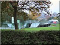
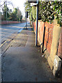
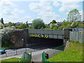
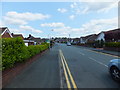
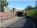
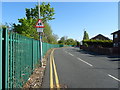
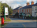
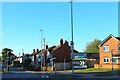
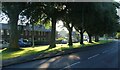
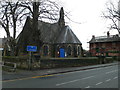
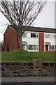
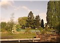
26 photos from this area
Area Information
Key information about the LL11 2PT including its size, population, and administrative classification.
- Area Type
- Postcode
- Area Size
- 1.6 hectares
- Population
- 1976
- Population Density
- 3514 people/km²
House Prices in LL11 2PT
38
Properties
£149,063
Average Sold Price
£51,000
Lowest Price
£275,000
Highest Price
Showing 38 properties
| Address | Type | Beds | Baths | Last Sale Price | Last Sale Date | |
|---|---|---|---|---|---|---|
| 37 Haytor Road, Wrexham, LL11 2PT | Detached | - | - | £225,000 | Oct 2023 | |
| 16 Haytor Road, Wrexham, LL11 2PT | house | - | - | £222,500 | Feb 2022 | |
| 30 Haytor Road, Wrexham, LL11 2PT | house | - | - | £245,000 | Aug 2021 | |
| 2 Haytor Road, Wrexham, LL11 2PT | Retail | 3 | 1 | £210,000 | May 2021 | |
| 14 Haytor Road, Wrexham, LL11 2PT | Semi-detached | - | - | £220,000 | Mar 2021 | |
| 5 Haytor Road, Wrexham, LL11 2PT | house | - | - | £206,000 | Jan 2018 | |
| 7 Haytor Road, Wrexham, LL11 2PT | house | - | - | £185,000 | Mar 2014 | |
| 13 Haytor Road, Wrexham, LL11 2PT | Semi-detached | 3 | - | £150,000 | Feb 2013 | |
| 29 Haytor Road, Wrexham, LL11 2PT | house | - | - | £77,500 | Jan 2013 | |
| 38 Haytor Road, Wrexham, LL11 2PT | house | 4 | - | £275,000 | Mar 2011 |
Page 1 of 4
Energy Efficiency in LL11 2PT
Amenities
Schools
| Rank | School | Type | Entry gender | Ages |
|---|
Explore more schools in this area
Go to Schools tabDemographics
Household Size
Two person
most common
Accommodation Type
Houses
most common
Tenure
86
majority
Ethnic Group
White
most common
Religion
N/A
most common
Household Composition
N/A
most common
Age
47
median
Adults (30-64 years)
most common
Household Deprivation
N/A
with no deprivation
NS-SEC
38
in Lower managerial occupations
Explore more demographic insights in this area
Go to Demographics tabPlanning
Planning Constraints
- Flood RiskPremium
- Ramsar Wetland SitesPremium
- Area of Outstanding Natural BeautyPremium
- Protected Nature ReservePremium
- Protected WoodlandPremium
- Crime RiskPremium