Area Overview for LL11 1TT
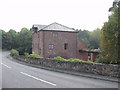
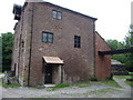
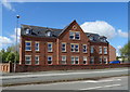
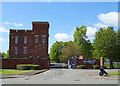
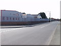
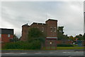
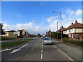
Photos of LL11 1TT

Area Information
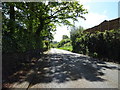
Living in LL11 1TT means being part of a small, tightly knit residential cluster in north Wales. With a population of just 1,336, this area is compact but connected to the broader Wrexham region, offering proximity to urban amenities without the density of a larger town. The community is predominantly composed of adults aged 30–64, suggesting a mix of established families and professionals. Daily life here is shaped by its location, with easy access to Wrexham’s rail network and retail hubs. The area’s broadband score of 100 ensures seamless internet connectivity, while mobile coverage rated 83 provides reliable communication. Though small, LL11 1TT balances quiet living with practical access to services, making it a viable option for those seeking a blend of residential peace and regional connectivity.
- Area Type
- Postcode
- Area Size
- Not available
- Population
- 1336
- Population Density
- 4993 people/km²
LL11 1TT is a rental-focused area, with just 12% of properties owned by residents. This suggests a market where long-term ownership is less common, potentially due to the area’s small size and limited housing stock. The accommodation type is exclusively houses, meaning there are no flats or apartments available. For buyers, this presents a challenge: the area’s compact nature and low home ownership rate may limit opportunities for purchase, especially for those seeking investment properties. Those considering buying here would need to look beyond the immediate postcode to surrounding regions for more housing options. The dominance of owner-occupied homes in nearby areas could also influence local property values and demand.
House Prices in LL11 1TT
No properties found in this postcode.
Energy Efficiency in LL11 1TT
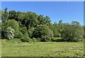
The lifestyle in LL11 1TT is shaped by its proximity to essential amenities, including retail outlets like Co-op Prince, Farmfoods Hightown, and Tesco Wrexham. These shops provide everyday convenience, though the area’s small size means choices are limited to nearby Wrexham. The rail network offers access to broader leisure and employment opportunities, while the lack of detailed data on parks or recreational spaces suggests a focus on practical living over extensive green spaces. Residents benefit from a compact, service-oriented environment, with daily needs met by nearby retail and transport links, though the area’s character is defined more by functionality than leisure.
Amenities
Schools
Residents of LL11 1TT have access to two schools within practical reach: Ysgol Cae'r Gwenyn and St Anne’s R.C. Primary School. Both are listed as “other” in type, though specific Ofsted ratings are not provided in the data. The presence of a primary school suggests the area caters to families with young children, though the absence of secondary schools may require commuting to Wrexham or nearby towns. The mix of school types—likely including both state and faith-based institutions—offers parents choices in education, though the limited number of schools reflects the area’s small size. Families should consider the need for additional schooling options beyond the immediate vicinity.
| Rank | School | Type | Entry gender | Ages |
|---|
Explore more schools in this area
Go to Schools tabDemographics
The community in LL11 1TT is defined by its age profile, with a median age of 22, though the most common age range among residents is 30–64 years. This suggests a population of working-age adults, likely balancing employment in nearby Wrexham with local living. Home ownership here is low, with only 12% of properties owner-occupied, indicating a rental-dominated market. The area is composed entirely of houses, not flats or apartments, which may appeal to those seeking traditional family homes. The predominant ethnic group is White, reflecting the broader demographic trends in north Wales. While no deprivation data is provided, the low home ownership rate may imply a reliance on rental income or temporary housing, influencing the area’s economic dynamics.
Household Size
Accommodation Type
Tenure
Ethnic Group
Religion
Household Composition
Age
Household Deprivation
NS-SEC
Explore more demographic insights in this area
Go to Demographics tabPlanning
Planning Constraints
- Flood RiskPremium
- Ramsar Wetland SitesPremium
- Area of Outstanding Natural BeautyPremium
- Protected Nature ReservePremium
- Protected WoodlandPremium
- Crime RiskPremium