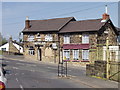
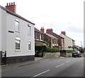
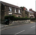
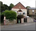
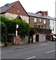
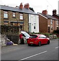
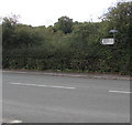
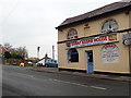
Area Overview for Broughton Community
Photos of Broughton Community
Area Information
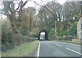
The civil parish of Broughton Community offers a defined residential setting spanning exactly 4.6 square kilometres. This civil parish provides a compact environment where residents navigate estate living within a clear geographical boundary. You will find that life here is dictated by the physical limits of this parish, creating a neighbourhood with a tangible, manageable scale. The area is established in Wales, positioning it within the broader countryside context of the nation. Living in Broughton Community means you reside in a space where the land itself is a fixed and known entity. The parish status implies a level of local administrative recognition, distinguishing it from larger towns or unincorporated rural zones. You occupy a village-like environment where the distance between your home and local amenities is inherently shorter than in wider regions. This specific area size ensures that your daily movements remain contained, reducing the need for long commutes across unfamiliar territory. The distinctiveness of Broughton Community lies in its status as a self-contained parish rather than a suburb or a sprawling district. Your daily routine will revolve around this central location, benefiting from its clear demarcation and established identity as a rural parish in Wales.
- Area Type
- Parish
- Area Size
- 4.6 km²
- Population
- Not available
- Population Density
- Not available
Demographics
The demographic profile of Broughton Community reveals a settled population with a median age of 70 years. This figure indicates that the community is predominantly retired, creating a settlement built for older residents rather than a young family demographic. You will encounter an area where life is centred around retirement and established family units. The home ownership level stands at 63 percent, meaning roughly six out of every ten households own their property outright or with a mortgage. This high rate of ownership contrasts sharply with furniture rental models, suggesting a deep local investment in the land and infrastructure. The household composition data flags the total without breaking down specific family types, yet the age data strongly implies a dominance of single-person households or couples. Living in Broughton Community means you join a community where financial stability and long-term residence are the norm. The lack of specific ethnicity or religion data suggests a broad demographic spread typical of rural parishes, though the age profile remains the defining characteristic. This age-heavy profile could influence local services and social activities, shaping a quieter, more structured daily life for those moving to Broughton Community.
Household Size
Accommodation Type
Tenure
Ethnic Group
Religion
Household Composition
Age
Household Deprivation
NS-SEC
Explore more demographic insights in this area
Go to Demographics tabPlanning
Planning Constraints
- Flood RiskPremium
- Ramsar Wetland SitesPremium
- Area of Outstanding Natural BeautyPremium
- Protected Nature ReservePremium
- Protected WoodlandPremium
- Crime RiskPremium