Area Overview for Bronington Community
Photos of Bronington Community
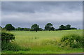
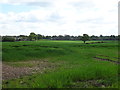
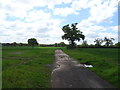
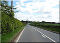
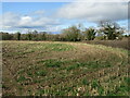
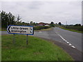
Area Information
Bronington Community sits within the rolling landscape of Wales, covering an area of 34.9 km². You will find a settlement defined by its rural character and established neighbourhoods rather than urban density. Living in Bronington Community means engaging with a civil parish where the environment plays a significant role in daily life. The area is sufficiently large to offer space, yet compact enough to maintain a sense of locality. Prospective buyers looking for homes in Bronington Community should expect a setting distinct from the faster-paced towns found elsewhere in the UK. The community operates under the administrative structure of a parish, which often denotes a close-knit social structure rather than a bustling metropolitan centre. Daily life here revolves around the local amenities available within the parish boundaries or a short distance away. You are purchasing into an environment where the 34.9 km² of land provides context for the scale of development existing within the area. The region does not contain a designated Area of Outstanding Natural Beauty, but protected sites do contribute to the landscape. This combination allows for a specific type of domestic life that balances open space with residential zones. Understanding the physical dimensions of Bronington Community helps you gauge the commute distances and local infrastructure needs.
- Area Type
- Parish
- Area Size
- 34.9 km²
- Population
- Not available
- Population Density
- Not available
Demographics
The population of Bronington Community displays a clear demographic skew towards older residents. The median age stands at 70 years, indicating that the majority of people living in Bronington Community are retired or in later life. This age profile shapes the rhythm of the local shops, public transport use, and community activities. You are buying into an area where family life may look different from younger enclaves, with fewer young dependents and more established households. The household composition reflects this maturity, suggesting stability and established routines rather than transient populations. Home ownership is a defining feature of the local economy. An estimated 81% of residents own their properties outright, meaning the rental sector is relatively small compared to the general UK average. This high level of tenure creates a stable community where long-term commitment to the neighbourhood is the norm. Accommodation types generally align with the needs of older adults, likely featuring detached or semi-detached properties suitable for a single householder or retired couple. While specific ethnicity and religion data are not available in the recent census return for this period, the homogeneity of tenure suggests a shared investment in the local infrastructure. Deprivation metrics are not currently provided for this specific parish, but the high ownership rate generally correlates with lower financial pressure compared to high-rental areas. Living in Bronington Community offers a demographic environment focused on settled life rather than rapid growth.
Household Size
Accommodation Type
Tenure
Ethnic Group
Religion
Household Composition
Age
Household Deprivation
NS-SEC
Explore more demographic insights in this area
Go to Demographics tabPlanning
Planning Constraints
- Flood RiskPremium
- Ramsar Wetland SitesPremium
- Area of Outstanding Natural BeautyPremium
- Protected Nature ReservePremium
- Protected WoodlandPremium
- Crime RiskPremium