Area Overview for CF64 5DL
Photos of CF64 5DL
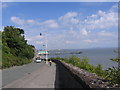
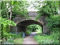
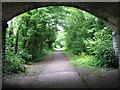
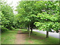
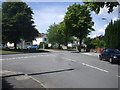
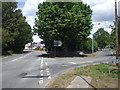
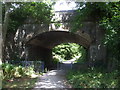
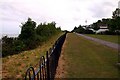
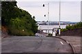
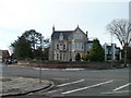
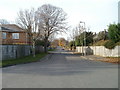
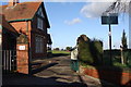
76 photos from this area
Area Information
Key information about the CF64 5DL including its size, population, and administrative classification.
- Area Type
- Postcode
- Area Size
- 8902 m²
- Population
- 1930
- Population Density
- 3662 people/km²
House Prices in CF64 5DL
25
Properties
£615,011
Average Sold Price
£145,000
Lowest Price
£965,000
Highest Price
Showing 25 properties
| Address | Type | Beds | Baths | Last Sale Price | Last Sale Date | |
|---|---|---|---|---|---|---|
| 78 Plymouth Road, Penarth, CF64 5DL | Semi-detached | 3 | 2 | £550,000 | Feb 2024 | |
| 94 Plymouth Road, Penarth, CF64 5DL | house | - | - | £910,000 | Nov 2021 | |
| 104 Plymouth Road, Penarth, CF64 5DL | house | - | - | £965,000 | Apr 2021 | |
| 84 Plymouth Road, Penarth, CF64 5DL | Detached | 5 | 2 | £700,000 | Jan 2019 | |
| 90 Plymouth Road, Penarth, CF64 5DL | house | - | - | £600,000 | Mar 2015 | |
| Treloweth, 92 Plymouth Road, Penarth, CF64 5DL | house | - | - | £650,000 | Mar 2010 | |
| 100 Plymouth Road, Penarth, CF64 5DL | house | - | - | £640,000 | Dec 2009 | |
| 102 Plymouth Road, Penarth, CF64 5DL | Terraced | - | - | £375,100 | Jun 2006 | |
| 80 Plymouth Road, Penarth, CF64 5DL | Semi-detached | - | - | £145,000 | Aug 2002 | |
| 98 Plymouth Road, Penarth, CF64 5DL | Semi-detached | 6 | 2 | - | - |
Page 1 of 3
Energy Efficiency in CF64 5DL
Amenities
Schools
| Rank | School | Type | Entry gender | Ages |
|---|
Explore more schools in this area
Go to Schools tabDemographics
Household Size
One person
most common
Accommodation Type
Houses
most common
Tenure
83
majority
Ethnic Group
White
most common
Religion
N/A
most common
Household Composition
N/A
most common
Age
47
median
Adults (30-64 years)
most common
Household Deprivation
N/A
with no deprivation
NS-SEC
53
in Lower managerial occupations
Explore more demographic insights in this area
Go to Demographics tabPlanning
Planning Constraints
- Flood RiskPremium
- Ramsar Wetland SitesPremium
- Area of Outstanding Natural BeautyPremium
- Protected Nature ReservePremium
- Protected WoodlandPremium
- Crime RiskPremium