Area Overview for CF64 3DJ
Photos of CF64 3DJ
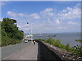
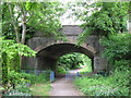
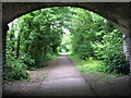
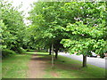
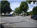
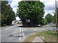
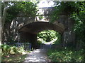
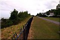
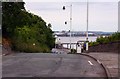
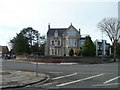
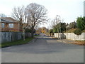
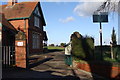
76 photos from this area
Area Information
Key information about the CF64 3DJ including its size, population, and administrative classification.
- Area Type
- Postcode
- Area Size
- 8225 m²
- Population
- 1930
- Population Density
- 3662 people/km²
House Prices in CF64 3DJ
13
Properties
£568,778
Average Sold Price
£130,000
Lowest Price
£835,000
Highest Price
Showing 13 properties
| Address | Type | Beds | Baths | Last Sale Price | Last Sale Date | |
|---|---|---|---|---|---|---|
| 76 Plymouth Road, Penarth, CF64 3DJ | Semi-detached | 3 | 2 | £757,130 | Aug 2022 | |
| 70 Plymouth Road, Penarth, CF64 3DJ | house | - | - | £800,000 | Dec 2021 | |
| 60 Plymouth Road, Penarth, CF64 3DJ | house | - | - | £745,000 | Aug 2019 | |
| 64 Plymouth Road, Penarth, CF64 3DJ | Semi-detached | 5 | 2 | £835,000 | Feb 2018 | |
| 66 Plymouth Road, Penarth, CF64 3DJ | house | - | - | £673,500 | Sep 2015 | |
| 58 Plymouth Road, Penarth, CF64 3DJ | house | - | - | £487,500 | Mar 2011 | |
| 56A Plymouth Road, Penarth, CF64 3DJ | Detached | - | - | £404,650 | Oct 2005 | |
| 56 Plymouth Road, Penarth, CF64 3DJ | Semi-detached | - | - | £550,000 | Jan 2002 | |
| 68 Plymouth Road, Penarth, CF64 3DJ | Semi-detached | - | - | £305,000 | Mar 2001 | |
| 62 Plymouth Road, Penarth, CF64 3DJ | Semi-detached | - | - | £130,000 | Jul 1999 |
Page 1 of 2
Energy Efficiency in CF64 3DJ
Amenities
Schools
| Rank | School | Type | Entry gender | Ages |
|---|
Explore more schools in this area
Go to Schools tabDemographics
Household Size
One person
most common
Accommodation Type
Houses
most common
Tenure
83
majority
Ethnic Group
White
most common
Religion
N/A
most common
Household Composition
N/A
most common
Age
47
median
Adults (30-64 years)
most common
Household Deprivation
N/A
with no deprivation
NS-SEC
53
in Lower managerial occupations
Explore more demographic insights in this area
Go to Demographics tabPlanning
Planning Constraints
- Flood RiskPremium
- Ramsar Wetland SitesPremium
- Area of Outstanding Natural BeautyPremium
- Protected Nature ReservePremium
- Protected WoodlandPremium
- Crime RiskPremium