Area Overview for NP4 0PP
Photos of NP4 0PP
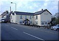
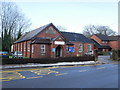
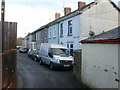
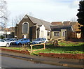
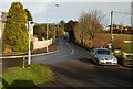
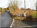
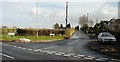
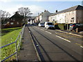
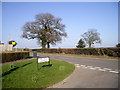
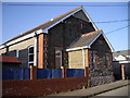
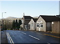
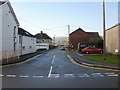
100 photos from this area
Area Information
Key information about the NP4 0PP including its size, population, and administrative classification.
- Area Type
- Postcode
- Area Size
- 1.8 hectares
- Population
- 1538
- Population Density
- 2849 people/km²
House Prices in NP4 0PP
24
Properties
£92,136
Average Sold Price
£45,000
Lowest Price
£157,000
Highest Price
Showing 24 properties
| Address | Type | Beds | Baths | Last Sale Price | Last Sale Date | |
|---|---|---|---|---|---|---|
| 3 Golf Road, New Inn, Pontypool, NP4 0PP | house | 2 | - | £135,000 | Sep 2019 | |
| 5 Golf Road, New Inn, Pontypool, NP4 0PP | house | - | - | £130,000 | Nov 2017 | |
| 7 Golf Road, New Inn, Pontypool, NP4 0PP | Terraced | 3 | - | £135,000 | Jun 2017 | |
| 15 Golf Road, New Inn, Pontypool, NP4 0PP | house | - | - | £147,500 | Feb 2017 | |
| 17 Golf Road, New Inn, Pontypool, NP4 0PP | Terraced | - | - | £55,000 | Jul 2011 | |
| 19 Golf Road, New Inn, Pontypool, NP4 0PP | house | - | - | £122,500 | Sep 2010 | |
| 4 Golf Road, New Inn, Pontypool, NP4 0PP | Terraced | - | - | £157,000 | Oct 2007 | |
| 8 Golf Road, New Inn, Pontypool, NP4 0PP | Terraced | - | - | £59,950 | Jul 2002 | |
| 12 Golf Road, New Inn, Pontypool, NP4 0PP | house | 3 | - | £65,000 | Apr 2002 | |
| 31 Golf Road, New Inn, Pontypool, NP4 0PP | Semi-detached | - | - | £65,000 | Oct 2001 |
Page 1 of 3
Energy Efficiency in NP4 0PP
Amenities
Schools
| Rank | School | Type | Entry gender | Ages |
|---|
Explore more schools in this area
Go to Schools tabDemographics
Household Size
Two person
most common
Accommodation Type
Houses
most common
Tenure
67
majority
Ethnic Group
White
most common
Religion
N/A
most common
Household Composition
N/A
most common
Age
47
median
Adults (30-64 years)
most common
Household Deprivation
N/A
with no deprivation
NS-SEC
31
in Lower managerial occupations
Explore more demographic insights in this area
Go to Demographics tabPlanning
Planning Constraints
- Flood RiskPremium
- Ramsar Wetland SitesPremium
- Area of Outstanding Natural BeautyPremium
- Protected Nature ReservePremium
- Protected WoodlandPremium
- Crime RiskPremium