Area Overview for SA5 9HA
Photos of SA5 9HA
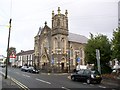
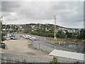
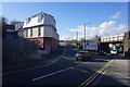
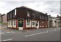
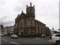
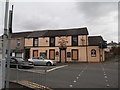
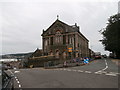
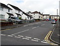
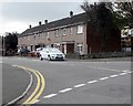
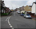
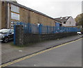
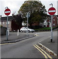
99 photos from this area
Area Information
Key information about the SA5 9HA including its size, population, and administrative classification.
- Area Type
- Postcode
- Area Size
- 1.3 hectares
- Population
- 1472
- Population Density
- 3900 people/km²
House Prices in SA5 9HA
30
Properties
£101,738
Average Sold Price
£30,000
Lowest Price
£188,000
Highest Price
Showing 30 properties
| Address | Type | Beds | Baths | Last Sale Price | Last Sale Date | |
|---|---|---|---|---|---|---|
| 28 Lynsdale Road, Brynhyfryd, Swansea, SA5 9HA | Semi-detached | 3 | 1 | £188,000 | Apr 2025 | |
| 30 Lynsdale Road, Brynhyfryd, Swansea, SA5 9HA | house | - | - | £160,000 | Dec 2024 | |
| 18 Lynsdale Road, Brynhyfryd, Swansea, SA5 9HA | house | - | - | £155,000 | Apr 2021 | |
| 26 Lynsdale Road, Brynhyfryd, Swansea, SA5 9HA | Terraced | 3 | - | £101,000 | Jul 2013 | |
| 34 Lynsdale Road, Brynhyfryd, Swansea, SA5 9HA | house | 3 | - | £105,000 | Apr 2013 | |
| 17 Lynsdale Road, Brynhyfryd, Swansea, SA5 9HA | house | - | - | £110,000 | Nov 2011 | |
| 2 Lynsdale Road, Brynhyfryd, Swansea, SA5 9HA | house | - | - | £63,700 | Apr 2011 | |
| 32 Lynsdale Road, Brynhyfryd, Swansea, SA5 9HA | house | - | - | £130,000 | Oct 2007 | |
| 3 Lynsdale Road, Brynhyfryd, Swansea, SA5 9HA | Terraced | - | - | £89,950 | Jun 2004 | |
| 1 Lynsdale Road, Brynhyfryd, Swansea, SA5 9HA | house | 3 | - | £69,950 | Jul 2003 |
Page 1 of 3
Energy Efficiency in SA5 9HA
Amenities
Schools
| Rank | School | Type | Entry gender | Ages |
|---|
Explore more schools in this area
Go to Schools tabDemographics
Household Size
Two person
most common
Accommodation Type
Houses
most common
Tenure
73
majority
Ethnic Group
White
most common
Religion
N/A
most common
Household Composition
N/A
most common
Age
47
median
Adults (30-64 years)
most common
Household Deprivation
N/A
with no deprivation
NS-SEC
24
in Lower managerial occupations
Explore more demographic insights in this area
Go to Demographics tabPlanning
Planning Constraints
- Flood RiskPremium
- Ramsar Wetland SitesPremium
- Area of Outstanding Natural BeautyPremium
- Protected Nature ReservePremium
- Protected WoodlandPremium
- Crime RiskPremium