Area Overview for SA5 9EZ
Photos of SA5 9EZ
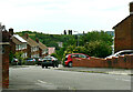
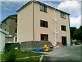
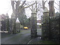
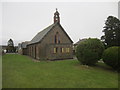
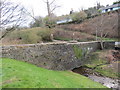
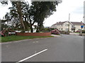
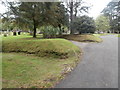
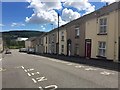
19 photos from this area
Area Information
Key information about the SA5 9EZ including its size, population, and administrative classification.
- Area Type
- Postcode
- Area Size
- 1.1 hectares
- Population
- 1472
- Population Density
- 3900 people/km²
House Prices in SA5 9EZ
34
Properties
£92,659
Average Sold Price
£13,300
Lowest Price
£130,000
Highest Price
Showing 34 properties
| Address | Type | Beds | Baths | Last Sale Price | Last Sale Date | |
|---|---|---|---|---|---|---|
| 195 Hollett Road, Treboeth, Swansea, SA5 9EZ | Terraced | 3 | 1 | £130,000 | Mar 2024 | |
| 189 Hollett Road, Treboeth, Swansea, SA5 9EZ | Terraced | 3 | 1 | £120,000 | Jun 2023 | |
| 177 Hollett Road, Treboeth, Swansea, SA5 9EZ | Terraced | 3 | 1 | £110,000 | Apr 2023 | |
| 221 Hollett Road, Treboeth, Swansea, SA5 9EZ | Semi-detached | 3 | 1 | £93,000 | Aug 2016 | |
| 175 Hollett Road, Treboeth, Swansea, SA5 9EZ | house | 3 | 1 | £84,000 | Apr 2016 | |
| 203 Hollett Road, Treboeth, Swansea, SA5 9EZ | Terraced | 2 | - | £108,000 | Mar 2016 | |
| 163 Hollett Road, Treboeth, Swansea, SA5 9EZ | house | 3 | 1 | £62,000 | Feb 2014 | |
| 215 Hollett Road, Treboeth, Swansea, SA5 9EZ | house | - | - | £89,950 | May 2007 | |
| 219 Hollett Road, Treboeth, Swansea, SA5 9EZ | Semi-detached | - | - | £110,000 | Oct 2006 | |
| 157 Hollett Road, Treboeth, Swansea, SA5 9EZ | Semi-detached | - | - | £99,000 | Jul 2006 |
Page 1 of 4
Energy Efficiency in SA5 9EZ
Amenities
Schools
| Rank | School | Type | Entry gender | Ages |
|---|
Explore more schools in this area
Go to Schools tabDemographics
Household Size
Two person
most common
Accommodation Type
Houses
most common
Tenure
73
majority
Ethnic Group
White
most common
Religion
N/A
most common
Household Composition
N/A
most common
Age
47
median
Adults (30-64 years)
most common
Household Deprivation
N/A
with no deprivation
NS-SEC
24
in Lower managerial occupations
Explore more demographic insights in this area
Go to Demographics tabPlanning
Planning Constraints
- Flood RiskPremium
- Ramsar Wetland SitesPremium
- Area of Outstanding Natural BeautyPremium
- Protected Nature ReservePremium
- Protected WoodlandPremium
- Crime RiskPremium