Area Overview for CF72 9RN
Photos of CF72 9RN
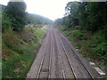
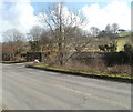
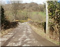
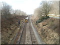
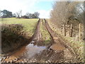
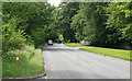
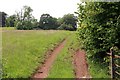
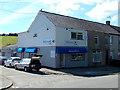
25 photos from this area
Area Information
Key information about the CF72 9RN including its size, population, and administrative classification.
- Area Type
- Postcode
- Area Size
- 72.8 hectares
- Population
- 2990
- Population Density
- 284 people/km²
House Prices in CF72 9RN
14
Properties
£116,000
Average Sold Price
£102,000
Lowest Price
£125,000
Highest Price
Showing 14 properties
| Address | Type | Beds | Baths | Last Sale Price | Last Sale Date | |
|---|---|---|---|---|---|---|
| Caeffynnon, Llanharry Road, Llanharan, CF72 9RN | Detached | 5 | - | £121,000 | May 2022 | |
| Slate Sunrise, Llanharry Road, Llanharan, CF72 9RN | house | - | - | £102,000 | Aug 2013 | |
| St Davids Bungalow, Llanharry Road, Llanharan, CF72 9RN | Detached | - | - | £125,000 | Oct 2002 | |
| The Oaks, 3 Llanharry Road, Llanharan, CF72 9RN | Detached | 4 | 2 | - | - | |
| Y Rhos, 2 Llanharry Road, Llanharan, CF72 9RN | Detached | 5 | - | - | - | |
| Bryn Y Cae Farm Bungalow, Llanharry Road, Llanharan, CF72 9RN | Bungalow | 5 | - | - | - | |
| Meadow View, 1 Llanharry Road, Llanharan, CF72 9RN | Detached | 3 | - | - | - | |
| BRYNAWEL CAREHOME, LLANHARRY ROAD, Llanharan, CF72 9RN | Unknown | - | - | - | - | |
| White Hall Farm, Llanharry Road, Llanharan, CF72 9RN | Farm | - | - | - | - | |
| Caravan, Llanharry Road, Llanharan, CF72 9RN | Mobile Home | - | - | - | - |
Page 1 of 2
Energy Efficiency in CF72 9RN
Amenities
Schools
| Rank | School | Type | Entry gender | Ages |
|---|
Explore more schools in this area
Go to Schools tabDemographics
Household Size
Family (3-5 people)
most common
Accommodation Type
Houses
most common
Tenure
79
majority
Ethnic Group
White
most common
Religion
N/A
most common
Household Composition
N/A
most common
Age
47
median
Adults (30-64 years)
most common
Household Deprivation
N/A
with no deprivation
NS-SEC
43
in Lower managerial occupations
Explore more demographic insights in this area
Go to Demographics tabPlanning
Planning Constraints
- Flood RiskPremium
- Ramsar Wetland SitesPremium
- Area of Outstanding Natural BeautyPremium
- Protected Nature ReservePremium
- Protected WoodlandPremium
- Crime RiskPremium