Area Overview for CF72 9NH
Photos of CF72 9NH
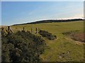
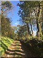
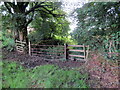
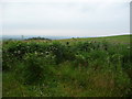
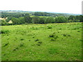
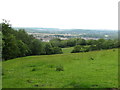
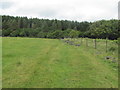

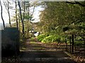
13 photos from this area
Area Information
Key information about the CF72 9NH including its size, population, and administrative classification.
- Area Type
- Postcode
- Area Size
- 3.1 km²
- Population
- 2990
- Population Density
- 284 people/km²
House Prices in CF72 9NH
36
Properties
£387,333
Average Sold Price
£243,000
Lowest Price
£600,000
Highest Price
Showing 36 properties
| Address | Type | Beds | Baths | Last Sale Price | Last Sale Date | |
|---|---|---|---|---|---|---|
| Cynllan Lodge, Llanharry Road, Llanharry, CF72 9NH | office_workshop | - | - | £600,000 | Mar 2017 | |
| 2, Cynllan Cottages, Llanharry Road, Llanharry, CF72 9NH | house | - | - | £243,000 | Mar 2016 | |
| 1, Cynllan Cottages, Llanharry Road, Llanharry, CF72 9NH | house | - | - | £319,000 | Aug 2007 | |
| Farmhouse, Nantlais Farm, Bridgend Road, Llanharan, CF72 9NH | Bungalow | 5 | 2 | - | - | |
| Maes Y Deri Farm, Bridgend Road, Llanharan, CF72 9NH | Semi-detached | 3 | 1 | - | - | |
| New Dwelling, Garth Uchaf Farm, Road To Garth Isaf Farm, Llanharan, CF72 9NH | Detached | - | - | - | - | |
| Caravan, Garth Isaf Farm, Road To Garth Isaf Farm, Llanharan, CF72 9NH | Mobile Home | - | - | - | - | |
| Cysgod Y Coed, Craig Melyn Farm, Bridgend Road, Llanharan, CF72 9NH | Semi-detached | - | - | - | - | |
| Maes Y Coed Farm, Bridgend Road, Llanharan, CF72 9NH | Farm | - | - | - | - | |
| Hendre Owen Farm, Llanharry Road, Llanharry, CF72 9NH | house | - | - | - | - |
Page 1 of 4
Energy Efficiency in CF72 9NH
Amenities
Schools
| Rank | School | Type | Entry gender | Ages |
|---|
Explore more schools in this area
Go to Schools tabDemographics
Household Size
Family (3-5 people)
most common
Accommodation Type
Houses
most common
Tenure
79
majority
Ethnic Group
White
most common
Religion
N/A
most common
Household Composition
N/A
most common
Age
47
median
Adults (30-64 years)
most common
Household Deprivation
N/A
with no deprivation
NS-SEC
43
in Lower managerial occupations
Explore more demographic insights in this area
Go to Demographics tabPlanning
Planning Constraints
- Flood RiskPremium
- Ramsar Wetland SitesPremium
- Area of Outstanding Natural BeautyPremium
- Protected Nature ReservePremium
- Protected WoodlandPremium
- Crime RiskPremium