Area Overview for SA73 2QR
Photos of SA73 2QR
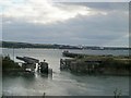

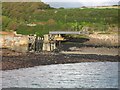
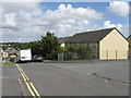
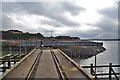
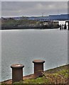
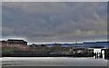
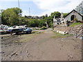
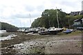
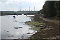
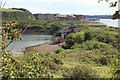
40 photos from this area
Area Information
Key information about the SA73 2QR including its size, population, and administrative classification.
- Area Type
- Postcode
- Area Size
- 7682 m²
- Population
- 2004
- Population Density
- 2986 people/km²
House Prices in SA73 2QR
24
Properties
£81,977
Average Sold Price
£31,500
Lowest Price
£128,000
Highest Price
Showing 24 properties
| Address | Type | Beds | Baths | Last Sale Price | Last Sale Date | |
|---|---|---|---|---|---|---|
| 10 Milton Crescent, Milford Haven, SA73 2QR | Terraced | 3 | 2 | £128,000 | Jul 2025 | |
| 4 Milton Crescent, Milford Haven, SA73 2QR | Terraced | 3 | 1 | £127,000 | May 2023 | |
| 16 Milton Crescent, Milford Haven, SA73 2QR | house | - | - | £100,000 | Sep 2022 | |
| 12 Milton Crescent, Milford Haven, SA73 2QR | Terraced | 3 | 1 | £100,000 | Jul 2022 | |
| 34 Milton Crescent, Milford Haven, SA73 2QR | Semi-detached | 3 | 1 | £84,250 | Feb 2021 | |
| 14 Milton Crescent, Milford Haven, SA73 2QR | house | - | - | £61,000 | Sep 2019 | |
| 22 Milton Crescent, Milford Haven, SA73 2QR | house | - | - | £75,000 | Jan 2018 | |
| 30 Milton Crescent, Milford Haven, SA73 2QR | house | - | - | £95,000 | Sep 2007 | |
| 6 Milton Crescent, Milford Haven, SA73 2QR | house | - | - | £65,000 | Dec 2003 | |
| 28 Milton Crescent, Milford Haven, SA73 2QR | Semi-detached | - | - | £35,000 | Apr 2001 |
Page 1 of 3
Energy Efficiency in SA73 2QR
Amenities
Schools
| Rank | School | Type | Entry gender | Ages |
|---|
Explore more schools in this area
Go to Schools tabDemographics
Household Size
One person
most common
Accommodation Type
Houses
most common
Tenure
56
majority
Ethnic Group
White
most common
Religion
N/A
most common
Household Composition
N/A
most common
Age
47
median
Adults (30-64 years)
most common
Household Deprivation
N/A
with no deprivation
NS-SEC
24
in Lower managerial occupations
Explore more demographic insights in this area
Go to Demographics tabPlanning
Planning Constraints
- Flood RiskPremium
- Ramsar Wetland SitesPremium
- Area of Outstanding Natural BeautyPremium
- Protected Nature ReservePremium
- Protected WoodlandPremium
- Crime RiskPremium