Area Overview for SA73 1HD
Photos of SA73 1HD
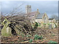
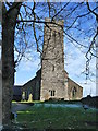
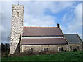
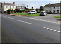
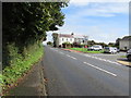
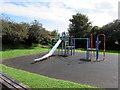
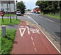
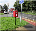
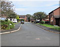
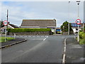
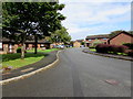
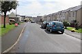
73 photos from this area
Area Information
Key information about the SA73 1HD including its size, population, and administrative classification.
- Area Type
- Postcode
- Area Size
- 1.7 hectares
- Population
- 1573
- Population Density
- 555 people/km²
House Prices in SA73 1HD
23
Properties
£161,204
Average Sold Price
£59,950
Lowest Price
£205,000
Highest Price
Showing 23 properties
| Address | Type | Beds | Baths | Last Sale Price | Last Sale Date | |
|---|---|---|---|---|---|---|
| 25 Castle Pill Crescent, Steynton, Milford Haven, SA73 1HD | Bungalow | 4 | 2 | £205,000 | Jul 2019 | |
| 12 Castle Pill Crescent, Steynton, Milford Haven, SA73 1HD | Bungalow | 3 | - | £175,000 | Jan 2018 | |
| 11 Castle Pill Crescent, Steynton, Milford Haven, SA73 1HD | Bungalow | - | - | £162,500 | Jul 2013 | |
| 4 Castle Pill Crescent, Steynton, Milford Haven, SA73 1HD | Bungalow | - | - | £176,000 | Nov 2012 | |
| 33 Castle Pill Crescent, Steynton, Milford Haven, SA73 1HD | Detached | - | - | £177,000 | Sep 2007 | |
| 3 Castle Pill Crescent, Steynton, Milford Haven, SA73 1HD | Bungalow | - | - | £190,000 | Dec 2006 | |
| 15 Castle Pill Crescent, Steynton, Milford Haven, SA73 1HD | Bungalow | - | - | £197,500 | Dec 2005 | |
| 19 Castle Pill Crescent, Steynton, Milford Haven, SA73 1HD | Detached | - | - | £198,000 | Nov 2004 | |
| 2 Castle Pill Crescent, Steynton, Milford Haven, SA73 1HD | Bungalow | 3 | 2 | £183,500 | Aug 2004 | |
| 27 Castle Pill Crescent, Steynton, Milford Haven, SA73 1HD | Detached | - | - | £138,000 | Jul 2003 |
Page 1 of 3
Energy Efficiency in SA73 1HD
Amenities
Schools
| Rank | School | Type | Entry gender | Ages |
|---|
Explore more schools in this area
Go to Schools tabDemographics
Household Size
Two person
most common
Accommodation Type
Houses
most common
Tenure
64
majority
Ethnic Group
White
most common
Religion
N/A
most common
Household Composition
N/A
most common
Age
47
median
Adults (30-64 years)
most common
Household Deprivation
N/A
with no deprivation
NS-SEC
28
in Lower managerial occupations
Explore more demographic insights in this area
Go to Demographics tabPlanning
Planning Constraints
- Flood RiskPremium
- Ramsar Wetland SitesPremium
- Area of Outstanding Natural BeautyPremium
- Protected Nature ReservePremium
- Protected WoodlandPremium
- Crime RiskPremium