Area Overview for SA61 2TD
Photos of SA61 2TD
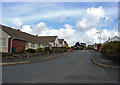
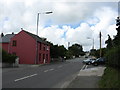
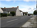
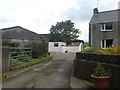
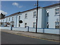
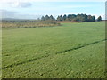
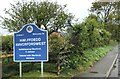
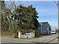
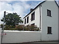
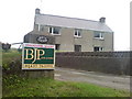
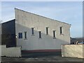
13 photos from this area
Area Information
Key information about the SA61 2TD including its size, population, and administrative classification.
- Area Type
- Postcode
- Area Size
- 7906 m²
- Population
- 1467
- Population Density
- 5173 people/km²
House Prices in SA61 2TD
31
Properties
£42,100
Average Sold Price
£18,000
Lowest Price
£80,000
Highest Price
Showing 31 properties
| Address | Type | Beds | Baths | Last Sale Price | Last Sale Date | |
|---|---|---|---|---|---|---|
| 239 North Court, Haverfordwest, SA61 2TD | house | - | - | £65,000 | Jul 2025 | |
| 201 North Court, Haverfordwest, SA61 2TD | Terraced | 2 | 1 | £80,000 | Apr 2018 | |
| 241 North Court, Haverfordwest, SA61 2TD | house | - | - | £18,000 | Jul 2002 | |
| 237 North Court, Haverfordwest, SA61 2TD | house | - | - | £19,500 | Feb 2001 | |
| 207 North Court, Haverfordwest, SA61 2TD | house | - | - | £28,000 | Apr 1995 | |
| 205 North Court, Haverfordwest, SA61 2TD | Terraced | 2 | 1 | - | - | |
| 219 North Court, Haverfordwest, SA61 2TD | house | - | - | - | - | |
| 231 North Court, Haverfordwest, SA61 2TD | house | - | - | - | - | |
| 217 North Court, Haverfordwest, SA61 2TD | house | - | - | - | - | |
| 235 North Court, Haverfordwest, SA61 2TD | house | - | - | - | - |
Page 1 of 4
Energy Efficiency in SA61 2TD
Amenities
Schools
| Rank | School | Type | Entry gender | Ages |
|---|
Explore more schools in this area
Go to Schools tabDemographics
Household Size
One person
most common
Accommodation Type
Houses
most common
Tenure
24
majority
Ethnic Group
White
most common
Religion
N/A
most common
Household Composition
N/A
most common
Age
22
median
Adults (30-64 years)
most common
Household Deprivation
N/A
with no deprivation
NS-SEC
13
in Lower managerial occupations
Explore more demographic insights in this area
Go to Demographics tabPlanning
Planning Constraints
- Flood RiskPremium
- Ramsar Wetland SitesPremium
- Area of Outstanding Natural BeautyPremium
- Protected Nature ReservePremium
- Protected WoodlandPremium
- Crime RiskPremium