Area Overview for NP20 5BD
Photos of NP20 5BD
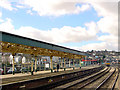
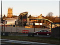
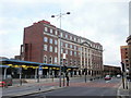

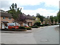

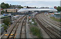
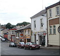
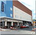
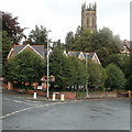
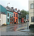
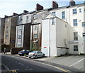
100 photos from this area
Area Information
Key information about the NP20 5BD including its size, population, and administrative classification.
- Area Type
- Postcode
- Area Size
- 3513 m²
- Population
- Not available
- Population Density
- Not available
House Prices in NP20 5BD
27
Properties
£104,608
Average Sold Price
£30,400
Lowest Price
£150,000
Highest Price
Showing 27 properties
| Address | Type | Beds | Baths | Last Sale Price | Last Sale Date | |
|---|---|---|---|---|---|---|
| 16, Fields Park Court, Fields Park Road, Newport, NP20 5BD | Maisonette | - | - | £150,000 | Jan 2025 | |
| 19, Fields Park Court, Fields Park Road, Newport, NP20 5BD | Flat | 2 | 1 | £150,000 | Mar 2023 | |
| 12, Fields Park Court, Fields Park Road, Newport, NP20 5BD | Maisonette | - | - | £130,000 | Jul 2022 | |
| 26, Fields Park Court, Fields Park Road, Newport, NP20 5BD | Flat | 2 | 1 | £128,500 | Mar 2022 | |
| 23, Fields Park Court, Fields Park Road, Newport, NP20 5BD | Flat | - | - | £132,500 | Dec 2021 | |
| 5, Fields Park Court, Fields Park Road, Newport, NP20 5BD | Flat | - | - | £71,750 | Jun 2018 | |
| 17, Fields Park Court, Fields Park Road, Newport, NP20 5BD | Maisonette | 3 | 1 | £131,000 | Mar 2018 | |
| 21, Fields Park Court, Fields Park Road, Newport, NP20 5BD | Flat | - | - | £110,000 | Mar 2018 | |
| 11, Fields Park Court, Fields Park Road, Newport, NP20 5BD | Maisonette | 3 | - | £146,000 | Feb 2018 | |
| 13, Fields Park Court, Fields Park Road, Newport, NP20 5BD | Maisonette | 3 | - | £115,000 | Mar 2017 |
Page 1 of 3
Energy Efficiency in NP20 5BD
Amenities
Schools
| Rank | School | Type | Entry gender | Ages |
|---|
Explore more schools in this area
Go to Schools tabDemographics
Household Size
Two person
most common
Accommodation Type
Houses
most common
Tenure
91
majority
Ethnic Group
White
most common
Religion
N/A
most common
Household Composition
N/A
most common
Age
47
median
Adults (30-64 years)
most common
Household Deprivation
N/A
with no deprivation
NS-SEC
53
in Lower managerial occupations
Explore more demographic insights in this area
Go to Demographics tabPlanning
Planning Constraints
- Flood RiskPremium
- Ramsar Wetland SitesPremium
- Area of Outstanding Natural BeautyPremium
- Protected Nature ReservePremium
- Protected WoodlandPremium
- Crime RiskPremium