Area Overview for NP20 3BZ
Photos of NP20 3BZ
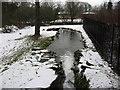
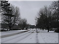
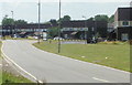
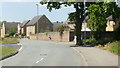
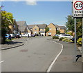
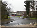
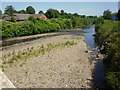
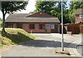

100 photos from this area
Area Information
Key information about the NP20 3BZ including its size, population, and administrative classification.
- Area Type
- Postcode
- Area Size
- 9891 m²
- Population
- 1480
- Population Density
- 6328 people/km²
House Prices in NP20 3BZ
34
Properties
£97,056
Average Sold Price
£51,500
Lowest Price
£145,000
Highest Price
Showing 34 properties
| Address | Type | Beds | Baths | Last Sale Price | Last Sale Date | |
|---|---|---|---|---|---|---|
| 118 Maesglas Crescent, Newport, NP20 3BZ | house | - | - | £76,000 | Jun 2024 | |
| 125 Maesglas Crescent, Newport, NP20 3BZ | house | - | - | £142,000 | Jan 2023 | |
| 144 Maesglas Crescent, Newport, NP20 3BZ | Retail | 3 | 1 | £145,000 | Apr 2022 | |
| 109 Maesglas Crescent, Newport, NP20 3BZ | Terraced | 3 | 1 | £140,000 | Sep 2019 | |
| 138 Maesglas Crescent, Newport, NP20 3BZ | Terraced | 3 | 1 | £72,000 | Nov 2013 | |
| 121 Maesglas Crescent, Newport, NP20 3BZ | house | - | - | £60,000 | Dec 2011 | |
| 139 Maesglas Crescent, Newport, NP20 3BZ | Terraced | - | - | £89,950 | Jul 2004 | |
| 146 Maesglas Crescent, Newport, NP20 3BZ | Terraced | - | - | £51,500 | Jan 2003 | |
| 107 Maesglas Crescent, Newport, NP20 3BZ | house | 3 | 1 | - | - | |
| 128 Maesglas Crescent, Newport, NP20 3BZ | house | - | - | - | - |
Page 1 of 4
Energy Efficiency in NP20 3BZ
Amenities
Schools
| Rank | School | Type | Entry gender | Ages |
|---|
Explore more schools in this area
Go to Schools tabDemographics
Household Size
Family (3-5 people)
most common
Accommodation Type
Houses
most common
Tenure
59
majority
Ethnic Group
White
most common
Religion
N/A
most common
Household Composition
N/A
most common
Age
47
median
Adults (30-64 years)
most common
Household Deprivation
N/A
with no deprivation
NS-SEC
23
in Lower managerial occupations
Explore more demographic insights in this area
Go to Demographics tabPlanning
Planning Constraints
- Flood RiskPremium
- Ramsar Wetland SitesPremium
- Area of Outstanding Natural BeautyPremium
- Protected Nature ReservePremium
- Protected WoodlandPremium
- Crime RiskPremium