Area Overview for NP19 9PG
Photos of NP19 9PG
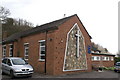
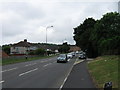
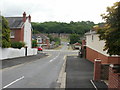
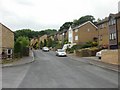
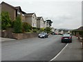
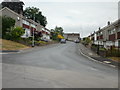
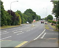
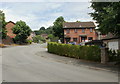
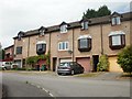

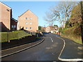
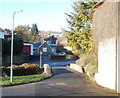
95 photos from this area
Area Information
Key information about the NP19 9PG including its size, population, and administrative classification.
- Area Type
- Postcode
- Area Size
- 1.5 hectares
- Population
- 1913
- Population Density
- 5625 people/km²
House Prices in NP19 9PG
42
Properties
£87,590
Average Sold Price
£32,000
Lowest Price
£140,000
Highest Price
Showing 42 properties
| Address | Type | Beds | Baths | Last Sale Price | Last Sale Date | |
|---|---|---|---|---|---|---|
| 89 Ringland Circle, Newport, NP19 9PG | Terraced | 3 | 1 | £125,000 | Dec 2024 | |
| 61 Ringland Circle, Newport, NP19 9PG | house | - | - | £140,000 | Feb 2022 | |
| 77 Ringland Circle, Newport, NP19 9PG | house | 3 | - | £95,000 | Jun 2021 | |
| 99 Ringland Circle, Newport, NP19 9PG | Terraced | 3 | 1 | £135,000 | Dec 2020 | |
| 109 Ringland Circle, Newport, NP19 9PG | house | - | - | £105,000 | May 2019 | |
| 87 Ringland Circle, Newport, NP19 9PG | Flat | - | - | £70,000 | Feb 2015 | |
| 83 Ringland Circle, Newport, NP19 9PG | house | - | - | £61,000 | Nov 2012 | |
| 43 Ringland Circle, Newport, NP19 9PG | Flat | - | - | £32,000 | Nov 2011 | |
| 107 Ringland Circle, Newport, NP19 9PG | Terraced | - | - | £80,000 | Dec 2006 | |
| 115 Ringland Circle, Newport, NP19 9PG | Terraced | - | - | £32,900 | Aug 1998 |
Page 1 of 5
Energy Efficiency in NP19 9PG
Amenities
Schools
| Rank | School | Type | Entry gender | Ages |
|---|
Explore more schools in this area
Go to Schools tabDemographics
Household Size
Family (3-5 people)
most common
Accommodation Type
Houses
most common
Tenure
40
majority
Ethnic Group
White
most common
Religion
N/A
most common
Household Composition
N/A
most common
Age
47
median
Adults (30-64 years)
most common
Household Deprivation
N/A
with no deprivation
NS-SEC
16
in Lower managerial occupations
Explore more demographic insights in this area
Go to Demographics tabPlanning
Planning Constraints
- Flood RiskPremium
- Ramsar Wetland SitesPremium
- Area of Outstanding Natural BeautyPremium
- Protected Nature ReservePremium
- Protected WoodlandPremium
- Crime RiskPremium