Area Overview for NP19 9HZ
Photos of NP19 9HZ
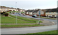
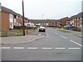
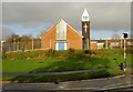
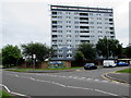
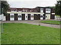
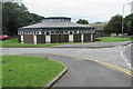
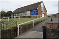
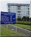
50 photos from this area
Area Information
Key information about the NP19 9HZ including its size, population, and administrative classification.
- Area Type
- Postcode
- Area Size
- 1.5 hectares
- Population
- 1310
- Population Density
- 6902 people/km²
House Prices in NP19 9HZ
37
Properties
£110,800
Average Sold Price
£37,500
Lowest Price
£190,000
Highest Price
Showing 37 properties
| Address | Type | Beds | Baths | Last Sale Price | Last Sale Date | |
|---|---|---|---|---|---|---|
| 4 Playford Crescent, Newport, NP19 9HZ | Terraced | 3 | 1 | £190,000 | Mar 2025 | |
| 72 Playford Crescent, Newport, NP19 9HZ | house | - | - | £170,000 | Sep 2024 | |
| 62 Playford Crescent, Newport, NP19 9HZ | Terraced | 3 | 1 | £180,000 | Aug 2024 | |
| 32 Playford Crescent, Newport, NP19 9HZ | house | - | - | £145,000 | Jun 2022 | |
| 58 Playford Crescent, Newport, NP19 9HZ | Terraced | 3 | 1 | £110,000 | Feb 2021 | |
| 42 Playford Crescent, Newport, NP19 9HZ | house | 3 | 1 | £125,000 | Sep 2019 | |
| 56 Playford Crescent, Newport, NP19 9HZ | house | - | - | £87,000 | Sep 2019 | |
| 74 Playford Crescent, Newport, NP19 9HZ | Terraced | 3 | - | £131,000 | Feb 2019 | |
| 38 Playford Crescent, Newport, NP19 9HZ | Terraced | - | - | £75,000 | Apr 2018 | |
| 26 Playford Crescent, Newport, NP19 9HZ | house | - | - | £94,950 | Jan 2006 |
Page 1 of 4
Energy Efficiency in NP19 9HZ
Amenities
Schools
| Rank | School | Type | Entry gender | Ages |
|---|
Explore more schools in this area
Go to Schools tabDemographics
Household Size
Family (3-5 people)
most common
Accommodation Type
Houses
most common
Tenure
42
majority
Ethnic Group
White
most common
Religion
N/A
most common
Household Composition
N/A
most common
Age
47
median
Adults (30-64 years)
most common
Household Deprivation
N/A
with no deprivation
NS-SEC
11
in Lower managerial occupations
Explore more demographic insights in this area
Go to Demographics tabPlanning
Planning Constraints
- Flood RiskPremium
- Ramsar Wetland SitesPremium
- Area of Outstanding Natural BeautyPremium
- Protected Nature ReservePremium
- Protected WoodlandPremium
- Crime RiskPremium