Area Overview for NP19 9HT
Photos of NP19 9HT
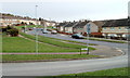
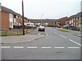
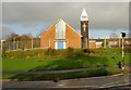
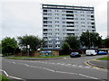
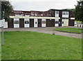
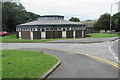
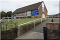
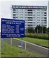
50 photos from this area
Area Information
Key information about the NP19 9HT including its size, population, and administrative classification.
- Area Type
- Postcode
- Area Size
- 2.6 hectares
- Population
- 1496
- Population Density
- 3544 people/km²
House Prices in NP19 9HT
56
Properties
£90,641
Average Sold Price
£8,500
Lowest Price
£180,000
Highest Price
Showing 56 properties
| Address | Type | Beds | Baths | Last Sale Price | Last Sale Date | |
|---|---|---|---|---|---|---|
| 232 Hendre Farm Drive, Newport, NP19 9HT | house | - | - | £120,000 | Mar 2024 | |
| 256 Hendre Farm Drive, Newport, NP19 9HT | Terraced | 3 | - | £170,000 | Nov 2023 | |
| 208 Hendre Farm Drive, Newport, NP19 9HT | house | - | - | £180,000 | Jun 2022 | |
| 235 Hendre Farm Drive, Newport, NP19 9HT | house | - | - | £151,000 | Dec 2021 | |
| 206 Hendre Farm Drive, Newport, NP19 9HT | Terraced | 4 | 2 | £123,000 | Feb 2019 | |
| 224 Hendre Farm Drive, Newport, NP19 9HT | house | 1 | 2 | £130,000 | Jan 2019 | |
| 247 Hendre Farm Drive, Newport, NP19 9HT | Maisonette | 3 | 1 | £58,000 | May 2017 | |
| 227 Hendre Farm Drive, Newport, NP19 9HT | house | - | - | £80,000 | Nov 2015 | |
| 225 Hendre Farm Drive, Newport, NP19 9HT | house | - | - | £90,000 | Aug 2014 | |
| 241 Hendre Farm Drive, Newport, NP19 9HT | Terraced | - | - | £68,500 | May 2012 |
Page 1 of 6
Energy Efficiency in NP19 9HT
Amenities
Schools
| Rank | School | Type | Entry gender | Ages |
|---|
Explore more schools in this area
Go to Schools tabDemographics
Household Size
Family (3-5 people)
most common
Accommodation Type
Houses
most common
Tenure
49
majority
Ethnic Group
White
most common
Religion
N/A
most common
Household Composition
N/A
most common
Age
47
median
Adults (30-64 years)
most common
Household Deprivation
N/A
with no deprivation
NS-SEC
13
in Lower managerial occupations
Explore more demographic insights in this area
Go to Demographics tabPlanning
Planning Constraints
- Flood RiskPremium
- Ramsar Wetland SitesPremium
- Area of Outstanding Natural BeautyPremium
- Protected Nature ReservePremium
- Protected WoodlandPremium
- Crime RiskPremium