Area Overview for NP19 7AS
Photos of NP19 7AS
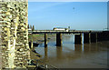
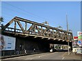
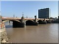
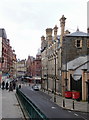
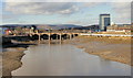
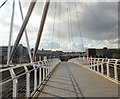
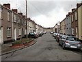
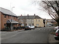
100 photos from this area
Area Information
Key information about the NP19 7AS including its size, population, and administrative classification.
- Area Type
- Postcode
- Area Size
- 2441 m²
- Population
- 1853
- Population Density
- 4504 people/km²
House Prices in NP19 7AS
16
Properties
£94,452
Average Sold Price
£3,393
Lowest Price
£152,000
Highest Price
Showing 16 properties
| Address | Type | Beds | Baths | Last Sale Price | Last Sale Date | |
|---|---|---|---|---|---|---|
| 47 Corelli Street, Newport, NP19 7AS | Terraced | 2 | 1 | £80,000 | Apr 2025 | |
| 51 Corelli Street, Newport, NP19 7AS | Terraced | 2 | 1 | £140,000 | Aug 2024 | |
| 40 Corelli Street, Newport, NP19 7AS | Terraced | 3 | 1 | £146,500 | Nov 2021 | |
| 38 Corelli Street, Newport, NP19 7AS | Terraced | 3 | 1 | £152,000 | Jun 2021 | |
| 57 Corelli Street, Newport, NP19 7AS | Terraced | 3 | 1 | £110,000 | Nov 2019 | |
| 45 Corelli Street, Newport, NP19 7AS | Terraced | 2 | - | £97,500 | Jul 2018 | |
| 63 Corelli Street, Newport, NP19 7AS | Terraced | 2 | 2 | £120,000 | Jun 2018 | |
| 49 Corelli Street, Newport, NP19 7AS | Terraced | 2 | 1 | £3,393 | May 2018 | |
| 53 Corelli Street, Newport, NP19 7AS | Terraced | 2 | 1 | £111,000 | Oct 2017 | |
| 65 Corelli Street, Newport, NP19 7AS | Terraced | 3 | 1 | £104,000 | Sep 2017 |
Page 1 of 2
Energy Efficiency in NP19 7AS
Amenities
Schools
| Rank | School | Type | Entry gender | Ages |
|---|
Explore more schools in this area
Go to Schools tabDemographics
Household Size
One person
most common
Accommodation Type
Houses
most common
Tenure
56
majority
Ethnic Group
White
most common
Religion
N/A
most common
Household Composition
N/A
most common
Age
47
median
Adults (30-64 years)
most common
Household Deprivation
N/A
with no deprivation
NS-SEC
26
in Lower managerial occupations
Explore more demographic insights in this area
Go to Demographics tabPlanning
Planning Constraints
- Flood RiskPremium
- Ramsar Wetland SitesPremium
- Area of Outstanding Natural BeautyPremium
- Protected Nature ReservePremium
- Protected WoodlandPremium
- Crime RiskPremium