Area Overview for NP19 0EE
Photos of NP19 0EE
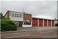
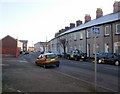
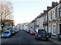
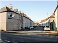
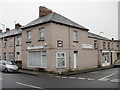

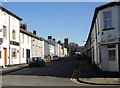
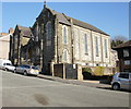
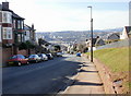
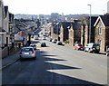
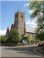
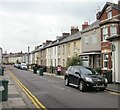
100 photos from this area
Area Information
Key information about the NP19 0EE including its size, population, and administrative classification.
- Area Type
- Postcode
- Area Size
- 6211 m²
- Population
- 2212
- Population Density
- 8778 people/km²
House Prices in NP19 0EE
28
Properties
£105,011
Average Sold Price
£35,750
Lowest Price
£188,000
Highest Price
Showing 28 properties
| Address | Type | Beds | Baths | Last Sale Price | Last Sale Date | |
|---|---|---|---|---|---|---|
| 18 Phillip Street, Newport, NP19 0EE | house | 3 | - | £188,000 | Aug 2022 | |
| 10 Phillip Street, Newport, NP19 0EE | Terraced | 2 | 1 | £128,000 | Jun 2022 | |
| 16 Phillip Street, Newport, NP19 0EE | Terraced | 3 | 1 | £130,000 | Mar 2022 | |
| 4 Phillip Street, Newport, NP19 0EE | Terraced | 3 | 1 | £130,000 | Mar 2022 | |
| 8 Phillip Street, Newport, NP19 0EE | Detached | 4 | 2 | £107,500 | Sep 2021 | |
| 6 Phillip Street, Newport, NP19 0EE | Flat | 3 | 1 | £94,000 | Sep 2017 | |
| 14 Phillip Street, Newport, NP19 0EE | Terraced | 3 | 2 | £90,000 | Oct 2014 | |
| 13 Phillip Street, Newport, NP19 0EE | house | - | - | £95,000 | Oct 2011 | |
| 11 Phillip Street, Newport, NP19 0EE | Flat | 2 | 1 | £87,000 | Jul 2010 | |
| 23 Phillip Street, Newport, NP19 0EE | Terraced | - | - | £124,950 | Feb 2009 |
Page 1 of 3
Energy Efficiency in NP19 0EE
Amenities
Schools
| Rank | School | Type | Entry gender | Ages |
|---|
Explore more schools in this area
Go to Schools tabDemographics
Household Size
Family (3-5 people)
most common
Accommodation Type
Houses
most common
Tenure
53
majority
Ethnic Group
White
most common
Religion
N/A
most common
Household Composition
N/A
most common
Age
47
median
Adults (30-64 years)
most common
Household Deprivation
N/A
with no deprivation
NS-SEC
20
in Lower managerial occupations
Explore more demographic insights in this area
Go to Demographics tabPlanning
Planning Constraints
- Flood RiskPremium
- Ramsar Wetland SitesPremium
- Area of Outstanding Natural BeautyPremium
- Protected Nature ReservePremium
- Protected WoodlandPremium
- Crime RiskPremium