Area Overview for NP18 2AU
Photos of NP18 2AU
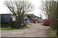
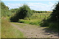
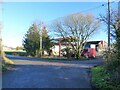
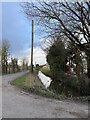
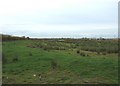
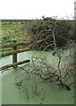
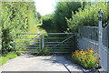
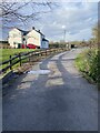

9 photos from this area
Area Information
Key information about the NP18 2AU including its size, population, and administrative classification.
- Area Type
- Postcode
- Area Size
- 1.7 km²
- Population
- 1780
- Population Density
- 47 people/km²
House Prices in NP18 2AU
42
Properties
£368,593
Average Sold Price
£59,950
Lowest Price
£790,000
Highest Price
Showing 42 properties
| Address | Type | Beds | Baths | Last Sale Price | Last Sale Date | |
|---|---|---|---|---|---|---|
| Rose Cottage, Goldcliff Road, Goldcliff, Newport, NP18 2AU | Detached | 5 | 3 | £300,000 | Dec 2025 | |
| Plas Newydd, Goldcliff Road, Goldcliff, Newport, NP18 2AU | Detached | 6 | 3 | £790,000 | May 2024 | |
| Goldcliff House, Goldcliff Road, Goldcliff, Newport, NP18 2AU | Detached | 4 | 2 | £680,000 | Nov 2023 | |
| Cartref, Goldcliff Road, Goldcliff, Newport, NP18 2AU | Detached | 4 | 2 | £535,000 | Oct 2023 | |
| Milwood, Goldcliff Road, Goldcliff, Newport, NP18 2AU | house | - | - | £490,000 | Feb 2022 | |
| Sunnydene, Goldcliff Road, Goldcliff, Newport, NP18 2AU | Detached | 4 | 2 | £415,000 | Feb 2021 | |
| Cynefin, Goldcliff Road, Goldcliff, Newport, NP18 2AU | Semi-detached | 4 | 1 | £330,000 | Aug 2020 | |
| Jon Len, Goldcliff Road, Goldcliff, Newport, NP18 2AU | house | - | - | £285,000 | Feb 2020 | |
| The Moorlands, Goldcliff Road, Goldcliff, Newport, NP18 2AU | house | - | - | £640,000 | Jan 2018 | |
| Baytrees, Goldcliff Road, Goldcliff, Newport, NP18 2AU | Detached | 4 | 1 | £455,000 | Aug 2016 |
Page 1 of 5
Energy Efficiency in NP18 2AU
Amenities
Schools
| Rank | School | Type | Entry gender | Ages |
|---|
Explore more schools in this area
Go to Schools tabDemographics
Household Size
Two person
most common
Accommodation Type
Houses
most common
Tenure
79
majority
Ethnic Group
White
most common
Religion
N/A
most common
Household Composition
N/A
most common
Age
47
median
Adults (30-64 years)
most common
Household Deprivation
N/A
with no deprivation
NS-SEC
37
in Lower managerial occupations
Explore more demographic insights in this area
Go to Demographics tabPlanning
Planning Constraints
- Flood RiskPremium
- Ramsar Wetland SitesPremium
- Area of Outstanding Natural BeautyPremium
- Protected Nature ReservePremium
- Protected WoodlandPremium
- Crime RiskPremium