Area Overview for SA13 3TE
Photos of SA13 3TE
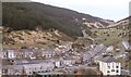
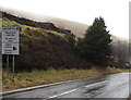
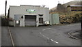
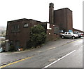
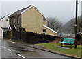
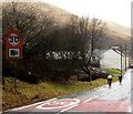
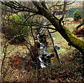
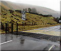
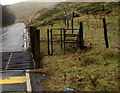
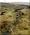
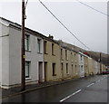
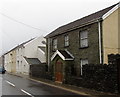
60 photos from this area
Area Information
Key information about the SA13 3TE including its size, population, and administrative classification.
- Area Type
- Postcode
- Area Size
- 1.3 hectares
- Population
- 1144
- Population Density
- 92 people/km²
House Prices in SA13 3TE
21
Properties
£60,989
Average Sold Price
£27,360
Lowest Price
£110,000
Highest Price
Showing 21 properties
| Address | Type | Beds | Baths | Last Sale Price | Last Sale Date | |
|---|---|---|---|---|---|---|
| 127 Jersey Road, Blaengwynfi, SA13 3TE | Terraced | 3 | 1 | £46,500 | Oct 2024 | |
| 122 Jersey Road, Blaengwynfi, SA13 3TE | Terraced | 4 | 2 | £110,000 | May 2023 | |
| 128 Jersey Road, Blaengwynfi, SA13 3TE | Terraced | 3 | - | £67,000 | Jul 2019 | |
| 109 Jersey Road, Blaengwynfi, SA13 3TE | Terraced | 3 | 1 | £56,000 | May 2019 | |
| 126 Jersey Road, Blaengwynfi, SA13 3TE | Terraced | 3 | 1 | £60,000 | Nov 2018 | |
| 111-112 Jersey Road, Blaengwynfi, SA13 3TE | Terraced | 4 | 1 | £64,000 | Jan 2018 | |
| 116-117 Jersey Road, Blaengwynfi, SA13 3TE | Terraced | 4 | 3 | £57,000 | Aug 2017 | |
| 115 Jersey Road, Blaengwynfi, SA13 3TE | Terraced | 3 | - | £71,000 | Dec 2015 | |
| 105 Jersey Road, Blaengwynfi, SA13 3TE | house | 3 | - | £27,360 | Nov 2013 | |
| 130 Jersey Road, Blaengwynfi, Port Talbot, SA13 3TE | house | 2 | 1 | £75,000 | Nov 2006 |
Page 1 of 3
Energy Efficiency in SA13 3TE
Amenities
Schools
| Rank | School | Type | Entry gender | Ages |
|---|
Explore more schools in this area
Go to Schools tabDemographics
Household Size
One person
most common
Accommodation Type
Houses
most common
Tenure
65
majority
Ethnic Group
White
most common
Religion
N/A
most common
Household Composition
N/A
most common
Age
47
median
Adults (30-64 years)
most common
Household Deprivation
N/A
with no deprivation
NS-SEC
16
in Lower managerial occupations
Explore more demographic insights in this area
Go to Demographics tabPlanning
Planning Constraints
- Flood RiskPremium
- Ramsar Wetland SitesPremium
- Area of Outstanding Natural BeautyPremium
- Protected Nature ReservePremium
- Protected WoodlandPremium
- Crime RiskPremium