Area Overview for SA13 3TB
Photos of SA13 3TB
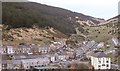
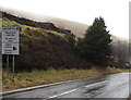
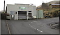
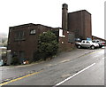
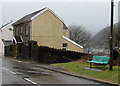
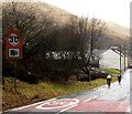
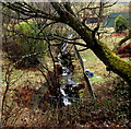
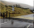
60 photos from this area
Area Information
Key information about the SA13 3TB including its size, population, and administrative classification.
- Area Type
- Postcode
- Area Size
- 5143 m²
- Population
- 1144
- Population Density
- 92 people/km²
House Prices in SA13 3TB
22
Properties
£51,591
Average Sold Price
£11,500
Lowest Price
£92,000
Highest Price
Showing 22 properties
| Address | Type | Beds | Baths | Last Sale Price | Last Sale Date | |
|---|---|---|---|---|---|---|
| 76 Jersey Road, Blaengwynfi, SA13 3TB | Terraced | 3 | 1 | £77,500 | Sep 2024 | |
| 70 Jersey Road, Blaengwynfi, Port Talbot, SA13 3TB | Terraced | 3 | 2 | £70,000 | Jan 2024 | |
| 61 Jersey Road, Blaengwynfi, SA13 3TB | house | 3 | 1 | £92,000 | Dec 2022 | |
| 73 Jersey Road, Blaengwynfi, SA13 3TB | Terraced | 3 | 1 | £75,000 | Mar 2021 | |
| 77 Jersey Road, Blaengwynfi, SA13 3TB | house | - | - | £65,000 | Jan 2021 | |
| 75 Jersey Road, Blaengwynfi, SA13 3TB | house | - | - | £68,000 | Nov 2009 | |
| 68 Jersey Road, Blaengwynfi, SA13 3TB | house | - | - | £50,000 | Jul 2008 | |
| 65 Jersey Road, Blaengwynfi, SA13 3TB | house | - | - | £26,500 | Feb 2001 | |
| 72 Jersey Road, Blaengwynfi, SA13 3TB | Terraced | - | - | £11,500 | Jan 1999 | |
| 67 Jersey Road, Blaengwynfi, SA13 3TB | house | - | - | £12,000 | Jun 1998 |
Page 1 of 3
Energy Efficiency in SA13 3TB
Amenities
Schools
| Rank | School | Type | Entry gender | Ages |
|---|
Explore more schools in this area
Go to Schools tabDemographics
Household Size
One person
most common
Accommodation Type
Houses
most common
Tenure
65
majority
Ethnic Group
White
most common
Religion
N/A
most common
Household Composition
N/A
most common
Age
47
median
Adults (30-64 years)
most common
Household Deprivation
N/A
with no deprivation
NS-SEC
16
in Lower managerial occupations
Explore more demographic insights in this area
Go to Demographics tabPlanning
Planning Constraints
- Flood RiskPremium
- Ramsar Wetland SitesPremium
- Area of Outstanding Natural BeautyPremium
- Protected Nature ReservePremium
- Protected WoodlandPremium
- Crime RiskPremium