Area Overview for SA11 4NW
Photos of SA11 4NW
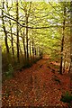
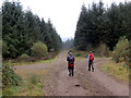
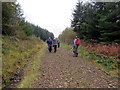
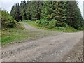
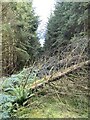
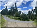
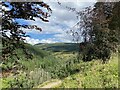
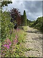
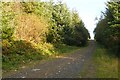
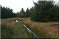
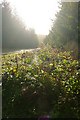
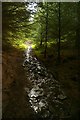
17 photos from this area
Area Information
Key information about the SA11 4NW including its size, population, and administrative classification.
- Area Type
- Postcode
- Area Size
- 1.8 km²
- Population
- 1345
- Population Density
- 73 people/km²
House Prices in SA11 4NW
21
Properties
£220,938
Average Sold Price
£50,000
Lowest Price
£480,000
Highest Price
Showing 21 properties
| Address | Type | Beds | Baths | Last Sale Price | Last Sale Date | |
|---|---|---|---|---|---|---|
| 10 Glyncastle, Resolven, SA11 4NW | Semi-detached | 3 | 1 | £280,000 | Jul 2025 | |
| 3 Glyncastle, Resolven, SA11 4NW | Semi-detached | 3 | 2 | £231,000 | Apr 2025 | |
| 1 Glyncastle, Resolven, SA11 4NW | Semi-detached | 3 | 1 | £320,000 | Mar 2023 | |
| 13 Glyncastle, Resolven, SA11 4NW | house | - | - | £480,000 | Jul 2017 | |
| Glyncastle House, Glyncastle, Resolven, SA11 4NW | Semi-detached | 3 | - | £290,000 | Sep 2014 | |
| 6 Glyncastle, Resolven, SA11 4NW | Semi-detached | - | - | £50,000 | Aug 2003 | |
| 2 Glyncastle, Resolven, SA11 4NW | Semi-detached | - | - | £61,500 | Jun 2002 | |
| 7 Glyncastle, Resolven, SA11 4NW | house | - | - | £55,000 | Feb 1997 | |
| The Rise, Glyncastle, Resolven, SA11 4NW | Bungalow | 3 | 2 | - | - | |
| Avalon, Glyncastle, Resolven, SA11 4NW | Bungalow | 3 | - | - | - |
Page 1 of 3
Energy Efficiency in SA11 4NW
Amenities
Schools
| Rank | School | Type | Entry gender | Ages |
|---|
Explore more schools in this area
Go to Schools tabDemographics
Household Size
Two person
most common
Accommodation Type
Houses
most common
Tenure
78
majority
Ethnic Group
White
most common
Religion
N/A
most common
Household Composition
N/A
most common
Age
47
median
Adults (30-64 years)
most common
Household Deprivation
N/A
with no deprivation
NS-SEC
25
in Lower managerial occupations
Explore more demographic insights in this area
Go to Demographics tabPlanning
Planning Constraints
- Flood RiskPremium
- Ramsar Wetland SitesPremium
- Area of Outstanding Natural BeautyPremium
- Protected Nature ReservePremium
- Protected WoodlandPremium
- Crime RiskPremium