Area Overview for SA11 2LS
Photos of SA11 2LS
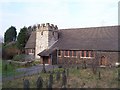
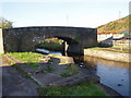
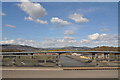
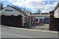

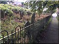
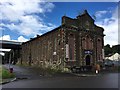
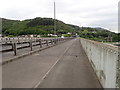
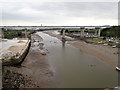
44 photos from this area
Area Information
Key information about the SA11 2LS including its size, population, and administrative classification.
- Area Type
- Postcode
- Area Size
- 1.6 hectares
- Population
- 1601
- Population Density
- 1179 people/km²
House Prices in SA11 2LS
35
Properties
£81,922
Average Sold Price
£25,500
Lowest Price
£175,000
Highest Price
Showing 35 properties
| Address | Type | Beds | Baths | Last Sale Price | Last Sale Date | |
|---|---|---|---|---|---|---|
| 18 Giants Grave Road, Briton Ferry, SA11 2LS | Detached | 3 | 1 | £175,000 | Jul 2025 | |
| 8 Giants Grave Road, Briton Ferry, SA11 2LS | Terraced | 3 | 2 | £160,000 | Jul 2023 | |
| 32 Giants Grave Road, Briton Ferry, SA11 2LS | house | - | - | £120,000 | Dec 2020 | |
| 4 Giants Grave Road, Briton Ferry, SA11 2LS | house | 2 | - | £125,000 | Aug 2018 | |
| 33 Giants Grave Road, Briton Ferry, SA11 2LS | house | 3 | - | £97,250 | Sep 2017 | |
| 35 Giants Grave Road, Briton Ferry, SA11 2LS | Semi-detached | 3 | 1 | £54,000 | Oct 2014 | |
| 22 Giants Grave Road, Briton Ferry, SA11 2LS | house | - | - | £59,995 | Jan 2013 | |
| 48 Giants Grave Road, Briton Ferry, SA11 2LS | house | 2 | - | £56,000 | Jul 2011 | |
| 16 Giants Grave Road, Briton Ferry, SA11 2LS | house | 3 | - | £72,000 | Sep 2008 | |
| 31 Giants Grave Road, Briton Ferry, SA11 2LS | Semi-detached | - | - | £98,000 | Nov 2007 |
Page 1 of 4
Energy Efficiency in SA11 2LS
Amenities
Schools
| Rank | School | Type | Entry gender | Ages |
|---|
Explore more schools in this area
Go to Schools tabDemographics
Household Size
Family (3-5 people)
most common
Accommodation Type
Houses
most common
Tenure
41
majority
Ethnic Group
White
most common
Religion
N/A
most common
Household Composition
N/A
most common
Age
47
median
Adults (30-64 years)
most common
Household Deprivation
N/A
with no deprivation
NS-SEC
15
in Lower managerial occupations
Explore more demographic insights in this area
Go to Demographics tabPlanning
Planning Constraints
- Flood RiskPremium
- Ramsar Wetland SitesPremium
- Area of Outstanding Natural BeautyPremium
- Protected Nature ReservePremium
- Protected WoodlandPremium
- Crime RiskPremium