Area Overview for NP44 2DE
Photos of NP44 2DE
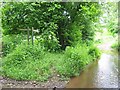
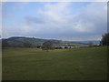
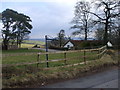
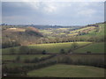
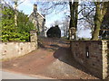
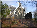
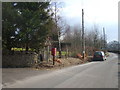
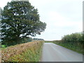
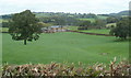
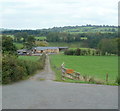
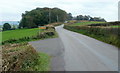
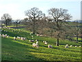
29 photos from this area
Area Information
Key information about the NP44 2DE including its size, population, and administrative classification.
- Area Type
- Postcode
- Area Size
- 2.0 km²
- Population
- 1814
- Population Density
- 28 people/km²
House Prices in NP44 2DE
18
Properties
£582,500
Average Sold Price
£160,000
Lowest Price
£1,500,000
Highest Price
Showing 18 properties
| Address | Type | Beds | Baths | Last Sale Price | Last Sale Date | |
|---|---|---|---|---|---|---|
| Little Cider Mill Barn, Tre Herbert Road, Croesyceiliog, NP44 2DE | Detached | 3 | 2 | £490,000 | Sep 2019 | |
| Perthellic Farm, Tre Herbert Road, Croesyceiliog, NP44 2DE | Detached | 3 | - | £1,500,000 | Sep 2017 | |
| Cider Mill Barn, 0 , Croesyceiliog, Cwmbran, NP44 2DE | Semi-detached | 3 | 2 | £160,000 | Jun 2003 | |
| The Old Rectory, Tre Herbert Road, Croesyceiliog, NP44 2DE | Detached | - | - | £180,000 | Aug 1995 | |
| Pentwyn House, Tre Herbert Road, Croesyceiliog, NP44 2DE | Detached | 3 | - | - | - | |
| Walnut Tree Farm, Walnut Tree Lane, Llandegveth, NP44 2DE | Farm | - | - | - | - | |
| Farmhouse, Walnut Tree Farm, Walnut Tree Lane, Llandegveth, NP44 2DE | Detached | 5 | - | - | - | |
| Annexe At, Glebe Farm Bungalow, Tre Herbert Road, Croesyceiliog, NP44 2DE | Semi-detached | 1 | - | - | - | |
| Glebe Farm Bungalow, Tre Herbert Road, Croesyceiliog, NP44 2DE | Semi-detached | 1 | - | - | - | |
| 1, Pentwyn Cottage, Tre Herbert Road, Croesyceiliog, NP44 2DE | Detached | 3 | - | - | - |
Page 1 of 2
Energy Efficiency in NP44 2DE
Amenities
Schools
| Rank | School | Type | Entry gender | Ages |
|---|
Explore more schools in this area
Go to Schools tabDemographics
Household Size
Two person
most common
Accommodation Type
Houses
most common
Tenure
82
majority
Ethnic Group
White
most common
Religion
N/A
most common
Household Composition
N/A
most common
Age
47
median
Adults (30-64 years)
most common
Household Deprivation
N/A
with no deprivation
NS-SEC
47
in Lower managerial occupations
Explore more demographic insights in this area
Go to Demographics tabPlanning
Planning Constraints
- Flood RiskPremium
- Ramsar Wetland SitesPremium
- Area of Outstanding Natural BeautyPremium
- Protected Nature ReservePremium
- Protected WoodlandPremium
- Crime RiskPremium