Area Overview for NP26 3QA
Photos of NP26 3QA
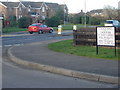

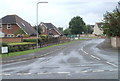
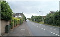
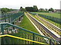

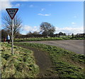
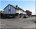
46 photos from this area
Area Information
Key information about the NP26 3QA including its size, population, and administrative classification.
- Area Type
- Postcode
- Area Size
- 4177 m²
- Population
- 1411
- Population Density
- 129 people/km²
House Prices in NP26 3QA
14
Properties
£179,021
Average Sold Price
£67,500
Lowest Price
£365,000
Highest Price
Showing 14 properties
| Address | Type | Beds | Baths | Last Sale Price | Last Sale Date | |
|---|---|---|---|---|---|---|
| 4 Kiln Way, Undy, NP26 3QA | Semi-detached | 3 | 2 | £265,000 | Jul 2025 | |
| 7 Kiln Way, Undy, NP26 3QA | Detached | 4 | 2 | £365,000 | Jun 2025 | |
| 1 Kiln Way, Undy, NP26 3QA | Detached | 3 | 2 | £300,000 | Nov 2024 | |
| 12 Kiln Way, Undy, NP26 3QA | house | - | - | £229,050 | Sep 2016 | |
| 10 Kiln Way, Undy, NP26 3QA | Detached | 4 | 4 | £254,500 | Jul 2016 | |
| 5 Kiln Way, Undy, NP26 3QA | house | - | - | £164,000 | Sep 2014 | |
| 6 Kiln Way, Undy, NP26 3QA | house | - | - | £166,000 | May 2007 | |
| 8 Kiln Way, Undy, NP26 3QA | Detached | - | - | £172,750 | Oct 2005 | |
| 2 Kiln Way, Undy, NP26 3QA | Semi-detached | 4 | 3 | £148,000 | Jul 2004 | |
| 15 Kiln Way, Undy, NP26 3QA | Detached | - | - | £103,000 | Sep 2000 |
Page 1 of 2
Energy Efficiency in NP26 3QA
Amenities
Schools
| Rank | School | Type | Entry gender | Ages |
|---|
Explore more schools in this area
Go to Schools tabDemographics
Household Size
Two person
most common
Accommodation Type
Houses
most common
Tenure
89
majority
Ethnic Group
White
most common
Religion
N/A
most common
Household Composition
N/A
most common
Age
47
median
Adults (30-64 years)
most common
Household Deprivation
N/A
with no deprivation
NS-SEC
44
in Lower managerial occupations
Explore more demographic insights in this area
Go to Demographics tabPlanning
Planning Constraints
- Flood RiskPremium
- Ramsar Wetland SitesPremium
- Area of Outstanding Natural BeautyPremium
- Protected Nature ReservePremium
- Protected WoodlandPremium
- Crime RiskPremium