Area Overview for NP25 5BA
Photos of NP25 5BA
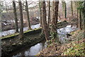
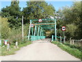
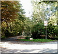
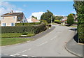
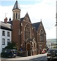
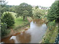
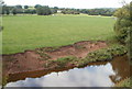
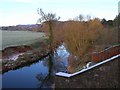
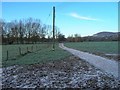
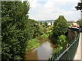
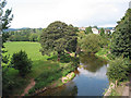
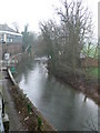
100 photos from this area
Area Information
Key information about the NP25 5BA including its size, population, and administrative classification.
- Area Type
- Postcode
- Area Size
- 23.0 hectares
- Population
- 1491
- Population Density
- 346 people/km²
House Prices in NP25 5BA
51
Properties
£228,650
Average Sold Price
£51,000
Lowest Price
£425,000
Highest Price
Showing 51 properties
| Address | Type | Beds | Baths | Last Sale Price | Last Sale Date | |
|---|---|---|---|---|---|---|
| 24 Rockfield Road, Monmouth, NP25 5BA | Detached | 3 | 2 | £215,000 | Jul 2025 | |
| Former Briardene 18, Rockfield Road, Monmouth, NP25 5BA | Detached | 4 | 1 | £410,000 | Aug 2023 | |
| Briardene, 18A Rockfield Road, Monmouth, NP25 5BA | house | - | - | £410,000 | Aug 2023 | |
| 40 Rockfield Road, Monmouth, NP25 5BA | Semi-detached | 4 | 2 | £355,000 | Jun 2023 | |
| 18 Rockfield Road, Monmouth, NP25 5BA | house | - | - | £425,000 | Jun 2023 | |
| 22 Rockfield Road, Monmouth, NP25 5BA | Semi-detached | 3 | 1 | £270,000 | Aug 2022 | |
| 49 Rockfield Road, Monmouth, NP25 5BA | Semi-detached | 2 | 1 | £220,000 | Nov 2021 | |
| 21 Rockfield Road, Monmouth, NP25 5BA | Detached | 3 | 2 | £225,000 | Jun 2021 | |
| 51 Rockfield Road, Monmouth, NP25 5BA | Semi-detached | 3 | 2 | £250,000 | Jun 2021 | |
| 15 Rockfield Road, Monmouth, NP25 5BA | house | - | - | £195,000 | Apr 2021 |
Page 1 of 6
Energy Efficiency in NP25 5BA
Amenities
Schools
| Rank | School | Type | Entry gender | Ages |
|---|
Explore more schools in this area
Go to Schools tabDemographics
Household Size
One person
most common
Accommodation Type
Houses
most common
Tenure
66
majority
Ethnic Group
White
most common
Religion
N/A
most common
Household Composition
N/A
most common
Age
47
median
Adults (30-64 years)
most common
Household Deprivation
N/A
with no deprivation
NS-SEC
30
in Lower managerial occupations
Explore more demographic insights in this area
Go to Demographics tabPlanning
Planning Constraints
- Flood RiskPremium
- Ramsar Wetland SitesPremium
- Area of Outstanding Natural BeautyPremium
- Protected Nature ReservePremium
- Protected WoodlandPremium
- Crime RiskPremium