Area Overview for NP25 3AX
Photos of NP25 3AX
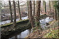
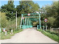
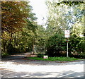
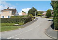
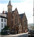
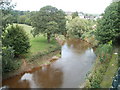
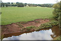
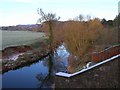

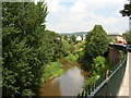
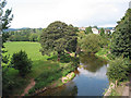
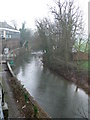
100 photos from this area
Area Information
Key information about the NP25 3AX including its size, population, and administrative classification.
- Area Type
- Postcode
- Area Size
- 45.3 hectares
- Population
- 1523
- Population Density
- 336 people/km²
House Prices in NP25 3AX
7
Properties
£481,250
Average Sold Price
£387,500
Lowest Price
£575,000
Highest Price
Showing 7 properties
| Address | Type | Beds | Baths | Last Sale Price | Last Sale Date | |
|---|---|---|---|---|---|---|
| Monnow Lodge, Osbaston Road, Monmouth, NP25 3AX | Detached | 3 | 1 | £387,500 | Mar 2024 | |
| Millwalk, Osbaston Road, Monmouth, NP25 3AX | Detached | - | - | £575,000 | Oct 2010 | |
| Clent Cottage, Osbaston Road, Monmouth, NP25 3AX | Detached | 5 | - | - | - | |
| Monnow Mill House, Osbaston Road, Monmouth, NP25 3AX | Detached | - | - | - | - | |
| Store At, Vauxhall Military Training Camp, Osbaston Road, Monmouth, NP25 3AX | warehouse | - | - | - | - | |
| Vauxhall House, Osbaston Road, Monmouth, NP25 3AX | house | - | - | - | - | |
| Monnow Mill, Osbaston Road, Monmouth, NP25 3AX | Detached | - | - | - | - |
Energy Efficiency in NP25 3AX
Amenities
Schools
| Rank | School | Type | Entry gender | Ages |
|---|
Explore more schools in this area
Go to Schools tabDemographics
Household Size
One person
most common
Accommodation Type
Houses
most common
Tenure
61
majority
Ethnic Group
White
most common
Religion
N/A
most common
Household Composition
N/A
most common
Age
47
median
Adults (30-64 years)
most common
Household Deprivation
N/A
with no deprivation
NS-SEC
45
in Lower managerial occupations
Explore more demographic insights in this area
Go to Demographics tabPlanning
Planning Constraints
- Flood RiskPremium
- Ramsar Wetland SitesPremium
- Area of Outstanding Natural BeautyPremium
- Protected Nature ReservePremium
- Protected WoodlandPremium
- Crime RiskPremium