Area Overview for LL54 6EA
Photos of LL54 6EA
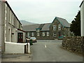
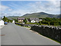
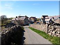
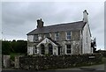
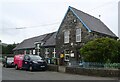
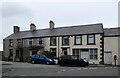
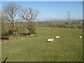
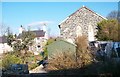
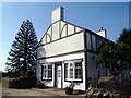
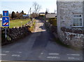
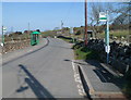
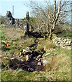
38 photos from this area
Area Information
Key information about the LL54 6EA including its size, population, and administrative classification.
- Area Type
- Postcode
- Area Size
- 22.3 hectares
- Population
- 2175
- Population Density
- 28 people/km²
House Prices in LL54 6EA
8
Properties
-
Average Sold Price
-
Lowest Price
-
Highest Price
Showing 8 properties
| Address | Type | Beds | Baths | Last Sale Price | Last Sale Date | |
|---|---|---|---|---|---|---|
| Glanrafon, Lon Pant Y Gog, Nebo, LL54 6EA | Detached | 2 | 1 | - | - | |
| BRYN MELYN, ROAD FROM NASARETH PASSING TYN Y FRON AND CAE GRASBIL TO TYN PARC, Nasareth, LL54 6EA | Detached | - | - | - | - | |
| Annexe, Glanrafon, Lon Pant Y Gog, Nebo, LL54 6EA | Flat | - | - | - | - | |
| 2, Glanrafon, Lon Pant Y Gog, Nebo, LL54 6EA | Detached | - | - | - | - | |
| Tŷ Hwnt I'r Afon, Lon Pant Y Gog, Nebo, LL54 6EA | Detached | - | - | - | - | |
| Tŷ'n Pant, Lon Pant Y Gog, Nebo, LL54 6EA | Detached | - | - | - | - | |
| Tyn Y Pwll, Lon Pant Y Gog, Nebo, LL54 6EA | Detached | - | - | - | - | |
| Pant Y Pistyll, Lon Pant Y Gog, Nebo, LL54 6EA | Detached | - | - | - | - |
Energy Efficiency in LL54 6EA
Amenities
Schools
| Rank | School | Type | Entry gender | Ages |
|---|
Explore more schools in this area
Go to Schools tabDemographics
Household Size
Two person
most common
Accommodation Type
Houses
most common
Tenure
73
majority
Ethnic Group
White
most common
Religion
N/A
most common
Household Composition
N/A
most common
Age
47
median
Adults (30-64 years)
most common
Household Deprivation
N/A
with no deprivation
NS-SEC
29
in Lower managerial occupations
Explore more demographic insights in this area
Go to Demographics tabPlanning
Planning Constraints
- Flood RiskPremium
- Ramsar Wetland SitesPremium
- Area of Outstanding Natural BeautyPremium
- Protected Nature ReservePremium
- Protected WoodlandPremium
- Crime RiskPremium