Area Overview for LL54 6DY
Photos of LL54 6DY
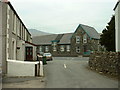
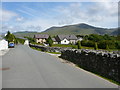
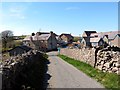
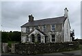
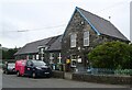
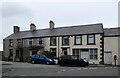
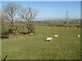
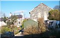
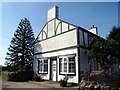
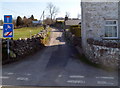
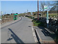
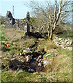
38 photos from this area
Area Information
Key information about the LL54 6DY including its size, population, and administrative classification.
- Area Type
- Postcode
- Area Size
- 14.1 hectares
- Population
- 2175
- Population Density
- 28 people/km²
House Prices in LL54 6DY
9
Properties
£50,000
Average Sold Price
£50,000
Lowest Price
£50,000
Highest Price
Showing 9 properties
| Address | Type | Beds | Baths | Last Sale Price | Last Sale Date | |
|---|---|---|---|---|---|---|
| Bryn Awel, Nebo Road, Nasareth, LL54 6DY | Detached | - | - | £50,000 | Jun 1999 | |
| Hafod Yr Esgob, Nebo Road, Nasareth, LL54 6DY | Detached | - | - | - | - | |
| Caravan, Tyn Y Coed, Nebo Road, Nasareth, LL54 6DY | Mobile Home | - | - | - | - | |
| Bryn Mawr, Nebo Road, Nasareth, LL54 6DY | Detached | - | - | - | - | |
| Pen Pelyn Bach, Road From Junction East Of Pen Pelyn To Nebo Road, Nasareth, LL54 6DY | Detached | - | - | - | - | |
| Bryn Goleu, Nebo Road, Nasareth, LL54 6DY | Detached | - | - | - | - | |
| Clwt Y Ffolt, Nebo Road, Nasareth, LL54 6DY | house | - | - | - | - | |
| Tan Y Rhiw, Lon Pant Y Gog, Nebo, LL54 6DY | house | - | - | - | - | |
| Tyn Y Coed, Nebo Road, Nasareth, LL54 6DY | house | - | - | - | - |
Energy Efficiency in LL54 6DY
Amenities
Schools
| Rank | School | Type | Entry gender | Ages |
|---|
Explore more schools in this area
Go to Schools tabDemographics
Household Size
Two person
most common
Accommodation Type
Houses
most common
Tenure
73
majority
Ethnic Group
White
most common
Religion
N/A
most common
Household Composition
N/A
most common
Age
47
median
Adults (30-64 years)
most common
Household Deprivation
N/A
with no deprivation
NS-SEC
29
in Lower managerial occupations
Explore more demographic insights in this area
Go to Demographics tabPlanning
Planning Constraints
- Flood RiskPremium
- Ramsar Wetland SitesPremium
- Area of Outstanding Natural BeautyPremium
- Protected Nature ReservePremium
- Protected WoodlandPremium
- Crime RiskPremium