Area Overview for LL19 9TD
Photos of LL19 9TD
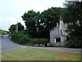
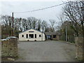
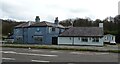
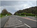
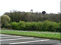
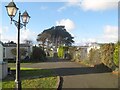
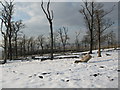
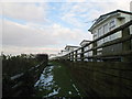
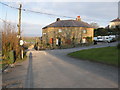
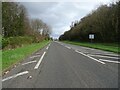
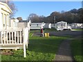
14 photos from this area
Area Information
Key information about the LL19 9TD including its size, population, and administrative classification.
- Area Type
- Postcode
- Area Size
- 20.0 hectares
- Population
- 1479
- Population Density
- 282 people/km²
House Prices in LL19 9TD
17
Properties
£587,917
Average Sold Price
£101,000
Lowest Price
£1,500,000
Highest Price
Showing 17 properties
| Address | Type | Beds | Baths | Last Sale Price | Last Sale Date | |
|---|---|---|---|---|---|---|
| Westbury Lodge, Abbey Drive, Gronant, LL19 9TD | Lodge | 3 | 2 | £1,500,000 | Mar 2018 | |
| St Benedicts Lodge, Abbey Drive, Gronant, LL19 9TD | Detached | - | - | £162,750 | Jul 2005 | |
| Isleworth, Abbey Drive, Gronant, LL19 9TD | Detached | 3 | 2 | £101,000 | Aug 2001 | |
| Westbury Castle, Abbey Drive, Gronant, LL19 9TD | Detached | 8 | 4 | - | - | |
| Garden House, Abbey Drive, Gronant, LL19 9TD | Detached | - | - | - | - | |
| Apartment 1, Westbury Castle, Abbey Drive, Gronant, LL19 9TD | Flat | - | - | - | - | |
| Apartment 6, Westbury Castle, Abbey Drive, Gronant, LL19 9TD | Flat | - | - | - | - | |
| Apartment 9, Westbury Castle, Abbey Drive, Gronant, LL19 9TD | Flat | - | - | - | - | |
| Apartment 4, Westbury Castle, Abbey Drive, Gronant, LL19 9TD | Flat | - | - | - | - | |
| Apartment 5, Westbury Castle, Abbey Drive, Gronant, LL19 9TD | Flat | - | - | - | - |
Page 1 of 2
Energy Efficiency in LL19 9TD
Amenities
Schools
| Rank | School | Type | Entry gender | Ages |
|---|
Explore more schools in this area
Go to Schools tabDemographics
Household Size
Two person
most common
Accommodation Type
Houses
most common
Tenure
71
majority
Ethnic Group
White
most common
Religion
N/A
most common
Household Composition
N/A
most common
Age
47
median
Adults (30-64 years)
most common
Household Deprivation
N/A
with no deprivation
NS-SEC
25
in Lower managerial occupations
Explore more demographic insights in this area
Go to Demographics tabPlanning
Planning Constraints
- Flood RiskPremium
- Ramsar Wetland SitesPremium
- Area of Outstanding Natural BeautyPremium
- Protected Nature ReservePremium
- Protected WoodlandPremium
- Crime RiskPremium