Area Overview for LL12 9EE
Photos of LL12 9EE
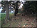
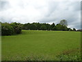
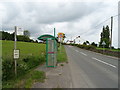
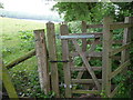
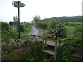
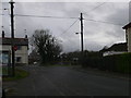
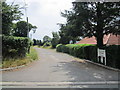
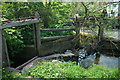
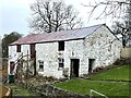
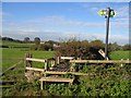
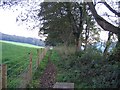
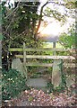
15 photos from this area
Area Information
Key information about the LL12 9EE including its size, population, and administrative classification.
- Area Type
- Postcode
- Area Size
- 23.9 hectares
- Population
- 1181
- Population Density
- 784 people/km²
House Prices in LL12 9EE
25
Properties
£259,144
Average Sold Price
£92,500
Lowest Price
£460,000
Highest Price
Showing 25 properties
| Address | Type | Beds | Baths | Last Sale Price | Last Sale Date | |
|---|---|---|---|---|---|---|
| 13 Rhyddyn Hill, Caergwrle, LL12 9EE | Detached | 6 | 3 | £460,000 | Feb 2022 | |
| 4 Rhyddyn Hill, Caergwrle, LL12 9EE | Detached | 5 | 1 | £430,000 | Sep 2021 | |
| 9 Rhyddyn Hill, Caergwrle, LL12 9EE | Detached | 4 | 1 | £300,000 | Jun 2021 | |
| Mallard House, 2A Rhyddyn Hill, Caergwrle, LL12 9EE | Detached | 2 | 1 | £185,000 | Jun 2018 | |
| 6 Rhyddyn Hill, Caergwrle, LL12 9EE | Detached | - | - | £166,000 | Jul 2017 | |
| Little Rhyddyn Farm, Rhyddyn Hill, Caergwrle, LL12 9EE | Detached | - | - | £317,800 | Jul 2008 | |
| 11 Rhyddyn Hill, Caergwrle, LL12 9EE | Bungalow | 3 | - | £220,000 | Sep 2007 | |
| 7 Rhyddyn Hill, Caergwrle, LL12 9EE | Detached | - | - | £161,000 | Jul 2005 | |
| 15 Rhyddyn Hill, Caergwrle, LL12 9EE | Detached | - | - | £92,500 | Oct 1999 | |
| Rhyddyn Hall Cottage, Rhyddyn Hill, Caergwrle, LL12 9EE | Detached | 7 | - | - | - |
Page 1 of 3
Energy Efficiency in LL12 9EE
Amenities
Schools
| Rank | School | Type | Entry gender | Ages |
|---|
Explore more schools in this area
Go to Schools tabDemographics
Household Size
Two person
most common
Accommodation Type
Houses
most common
Tenure
75
majority
Ethnic Group
White
most common
Religion
N/A
most common
Household Composition
N/A
most common
Age
47
median
Adults (30-64 years)
most common
Household Deprivation
N/A
with no deprivation
NS-SEC
31
in Lower managerial occupations
Explore more demographic insights in this area
Go to Demographics tabPlanning
Planning Constraints
- Flood RiskPremium
- Ramsar Wetland SitesPremium
- Area of Outstanding Natural BeautyPremium
- Protected Nature ReservePremium
- Protected WoodlandPremium
- Crime RiskPremium