Area Overview for CH7 3GJ
Photos of CH7 3GJ
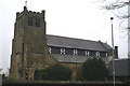
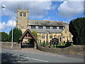
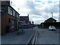
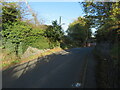
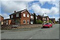
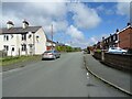

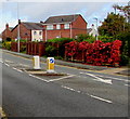

14 photos from this area
Area Information
Key information about the CH7 3GJ including its size, population, and administrative classification.
- Area Type
- Postcode
- Area Size
- 2.4 hectares
- Population
- 1660
- Population Density
- 4778 people/km²
House Prices in CH7 3GJ
42
Properties
£257,549
Average Sold Price
£186,995
Lowest Price
£399,999
Highest Price
Showing 42 properties
| Address | Type | Beds | Baths | Last Sale Price | Last Sale Date | |
|---|---|---|---|---|---|---|
| 21 Heritage Drive, Buckley, CH7 3GJ | Detached | 4 | 2 | £350,000 | Dec 2025 | |
| 15 Heritage Drive, Buckley, CH7 3GJ | house | - | - | £340,000 | Nov 2024 | |
| 2A Heritage Drive, Buckley, CH7 3GJ | house | - | - | £222,000 | Jan 2024 | |
| 4 Heritage Drive, Buckley, CH7 3GJ | Detached | 4 | - | £295,000 | Jan 2023 | |
| 7 Heritage Drive, Buckley, CH7 3GJ | house | - | - | £399,999 | Jan 2023 | |
| 23 Heritage Drive, Buckley, CH7 3GJ | house | - | - | £275,000 | Jan 2023 | |
| 41 Heritage Drive, Buckley, CH7 3GJ | house | - | - | £238,000 | Jul 2022 | |
| 25 Heritage Drive, Buckley, CH7 3GJ | Retail | 3 | 2 | £260,000 | Jul 2022 | |
| 39 Heritage Drive, Buckley, CH7 3GJ | house | - | - | £235,000 | Jan 2022 | |
| 47 Heritage Drive, Buckley, CH7 3GJ | house | - | - | £325,000 | Aug 2021 |
Page 1 of 5
Energy Efficiency in CH7 3GJ
Amenities
Schools
| Rank | School | Type | Entry gender | Ages |
|---|
Explore more schools in this area
Go to Schools tabDemographics
Household Size
One person
most common
Accommodation Type
Houses
most common
Tenure
75
majority
Ethnic Group
White
most common
Religion
N/A
most common
Household Composition
N/A
most common
Age
47
median
Adults (30-64 years)
most common
Household Deprivation
N/A
with no deprivation
NS-SEC
34
in Lower managerial occupations
Explore more demographic insights in this area
Go to Demographics tabPlanning
Planning Constraints
- Flood RiskPremium
- Ramsar Wetland SitesPremium
- Area of Outstanding Natural BeautyPremium
- Protected Nature ReservePremium
- Protected WoodlandPremium
- Crime RiskPremium