Area Overview for CH7 2PU
Photos of CH7 2PU
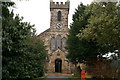
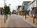
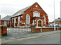
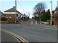
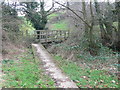
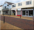
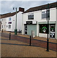
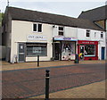
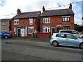
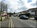
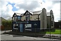
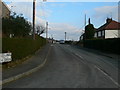
22 photos from this area
Area Information
Key information about the CH7 2PU including its size, population, and administrative classification.
- Area Type
- Postcode
- Area Size
- 2.6 hectares
- Population
- 1412
- Population Density
- 3805 people/km²
House Prices in CH7 2PU
36
Properties
£170,402
Average Sold Price
£62,500
Lowest Price
£345,000
Highest Price
Showing 36 properties
| Address | Type | Beds | Baths | Last Sale Price | Last Sale Date | |
|---|---|---|---|---|---|---|
| Red Ridge, Nant Mawr Road, Buckley, CH7 2PU | Semi-detached | 3 | 1 | £180,000 | Feb 2025 | |
| Tre Derwen, Nant Mawr Road, Buckley, CH7 2PU | Bungalow | 4 | 2 | £333,000 | Dec 2024 | |
| Balamow, Nant Mawr Road, Buckley, CH7 2PU | house | 6 | 3 | £340,000 | Apr 2023 | |
| Barnhey, Nant Mawr Road, Buckley, CH7 2PU | Bungalow | 2 | - | £155,000 | Nov 2021 | |
| Oak View, Nant Mawr Road, Buckley, CH7 2PU | house | - | - | £345,000 | May 2021 | |
| Melodin, Nant Mawr Road, Buckley, CH7 2PU | Bungalow | - | - | £150,000 | Jul 2019 | |
| Grenville, Nant Mawr Road, Buckley, CH7 2PU | Bungalow | 2 | 1 | £185,000 | Oct 2017 | |
| Beechwood, Nant Mawr Road, Buckley, CH7 2PU | Terraced | 2 | 1 | £275,000 | Feb 2017 | |
| Cotsall, Nant Mawr Road, Buckley, CH7 2PU | Semi-detached | 2 | 1 | £111,000 | Feb 2016 | |
| Belgrave, Nant Mawr Road, Buckley, CH7 2PU | Semi-detached | 3 | 2 | £139,950 | Sep 2015 |
Page 1 of 4
Energy Efficiency in CH7 2PU
Amenities
Schools
| Rank | School | Type | Entry gender | Ages |
|---|
Explore more schools in this area
Go to Schools tabDemographics
Household Size
Two person
most common
Accommodation Type
Houses
most common
Tenure
81
majority
Ethnic Group
White
most common
Religion
N/A
most common
Household Composition
N/A
most common
Age
47
median
Adults (30-64 years)
most common
Household Deprivation
N/A
with no deprivation
NS-SEC
30
in Lower managerial occupations
Explore more demographic insights in this area
Go to Demographics tabPlanning
Planning Constraints
- Flood RiskPremium
- Ramsar Wetland SitesPremium
- Area of Outstanding Natural BeautyPremium
- Protected Nature ReservePremium
- Protected WoodlandPremium
- Crime RiskPremium