Area Overview for CH7 1RT
Photos of CH7 1RT
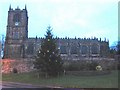
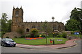
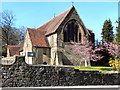
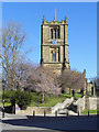
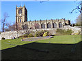
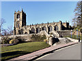
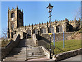
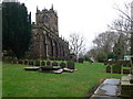

100 photos from this area
Area Information
Key information about the CH7 1RT including its size, population, and administrative classification.
- Area Type
- Postcode
- Area Size
- 1.2 hectares
- Population
- 1437
- Population Density
- 1475 people/km²
House Prices in CH7 1RT
16
Properties
£152,556
Average Sold Price
£58,500
Lowest Price
£213,000
Highest Price
Showing 16 properties
| Address | Type | Beds | Baths | Last Sale Price | Last Sale Date | |
|---|---|---|---|---|---|---|
| 12 Beechwood Close, Mold, CH7 1RT | Bungalow | - | - | £192,500 | Jul 2023 | |
| 13 Beechwood Close, Mold, CH7 1RT | Semi-detached | 2 | 1 | £202,000 | Jun 2021 | |
| 15 Beechwood Close, Mold, CH7 1RT | Semi-detached | 3 | 1 | £155,000 | Feb 2016 | |
| 14 Beechwood Close, Mold, CH7 1RT | Bungalow | - | - | £213,000 | Jun 2010 | |
| 7 Beechwood Close, Mold, CH7 1RT | Bungalow | - | - | £162,000 | Jul 2006 | |
| 4 Beechwood Close, Mold, CH7 1RT | Detached | - | - | £175,000 | Oct 2005 | |
| 11 Beechwood Close, Mold, CH7 1RT | Detached | - | - | £145,000 | Aug 2004 | |
| 8 Beechwood Close, Mold, CH7 1RT | Semi-detached | - | - | £70,000 | Sep 2001 | |
| 2 Beechwood Close, Mold, CH7 1RT | Detached | - | - | £58,500 | Feb 2000 | |
| 16 Beechwood Close, Mold, CH7 1RT | Bungalow | 4 | 1 | - | - |
Page 1 of 2
Energy Efficiency in CH7 1RT
Amenities
Schools
| Rank | School | Type | Entry gender | Ages |
|---|
Explore more schools in this area
Go to Schools tabDemographics
Household Size
One person
most common
Accommodation Type
Houses
most common
Tenure
61
majority
Ethnic Group
White
most common
Religion
N/A
most common
Household Composition
N/A
most common
Age
47
median
Adults (30-64 years)
most common
Household Deprivation
N/A
with no deprivation
NS-SEC
31
in Lower managerial occupations
Explore more demographic insights in this area
Go to Demographics tabPlanning
Planning Constraints
- Flood RiskPremium
- Ramsar Wetland SitesPremium
- Area of Outstanding Natural BeautyPremium
- Protected Nature ReservePremium
- Protected WoodlandPremium
- Crime RiskPremium