Area Overview for CH6 6BS
Photos of CH6 6BS
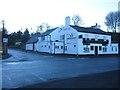
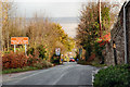
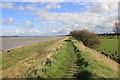
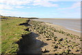
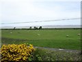

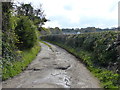
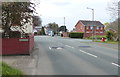
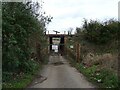
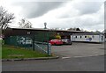
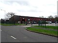
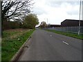
23 photos from this area
Area Information
Key information about the CH6 6BS including its size, population, and administrative classification.
- Area Type
- Postcode
- Area Size
- 1.9 hectares
- Population
- 1851
- Population Density
- 544 people/km²
House Prices in CH6 6BS
48
Properties
£73,583
Average Sold Price
£30,000
Lowest Price
£120,000
Highest Price
Showing 48 properties
| Address | Type | Beds | Baths | Last Sale Price | Last Sale Date | |
|---|---|---|---|---|---|---|
| 65 Bron Y Wern, Bagillt, CH6 6BS | house | - | - | £120,000 | Nov 2021 | |
| 71 Bron Y Wern, Bagillt, CH6 6BS | house | - | - | £120,000 | Oct 2021 | |
| 87 Bron Y Wern, Bagillt, CH6 6BS | house | 3 | - | £60,000 | Sep 2018 | |
| 91 Bron Y Wern, Bagillt, CH6 6BS | house | - | - | £74,000 | Mar 2016 | |
| 95 Bron Y Wern, Bagillt, CH6 6BS | house | - | - | £37,500 | Dec 2000 | |
| 85 Bron Y Wern, Bagillt, CH6 6BS | Semi-detached | - | - | £30,000 | Nov 1996 | |
| 15 Bron Y Wern, Bagillt, CH6 6BS | Flat | - | - | - | - | |
| 55 Bron Y Wern, Bagillt, CH6 6BS | Flat | - | - | - | - | |
| 57 Bron Y Wern, Bagillt, CH6 6BS | Flat | - | - | - | - | |
| 59 Bron Y Wern, Bagillt, CH6 6BS | Maisonette | - | - | - | - |
Page 1 of 5
Energy Efficiency in CH6 6BS
Amenities
Schools
| Rank | School | Type | Entry gender | Ages |
|---|
Explore more schools in this area
Go to Schools tabDemographics
Household Size
Two person
most common
Accommodation Type
Houses
most common
Tenure
75
majority
Ethnic Group
White
most common
Religion
N/A
most common
Household Composition
N/A
most common
Age
47
median
Adults (30-64 years)
most common
Household Deprivation
N/A
with no deprivation
NS-SEC
23
in Lower managerial occupations
Explore more demographic insights in this area
Go to Demographics tabPlanning
Planning Constraints
- Flood RiskPremium
- Ramsar Wetland SitesPremium
- Area of Outstanding Natural BeautyPremium
- Protected Nature ReservePremium
- Protected WoodlandPremium
- Crime RiskPremium