Area Overview for CH6 5QR
Photos of CH6 5QR
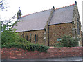
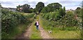
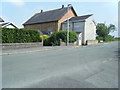
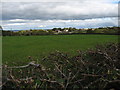
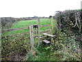
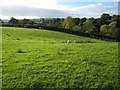
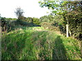
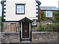
9 photos from this area
Area Information
Key information about the CH6 5QR including its size, population, and administrative classification.
- Area Type
- Postcode
- Area Size
- 23.4 hectares
- Population
- 1885
- Population Density
- 487 people/km²
House Prices in CH6 5QR
27
Properties
£219,086
Average Sold Price
£55,000
Lowest Price
£370,000
Highest Price
Showing 27 properties
| Address | Type | Beds | Baths | Last Sale Price | Last Sale Date | |
|---|---|---|---|---|---|---|
| Heddwch, Y Waen, Flint Mountain, CH6 5QR | Detached | 4 | 2 | £278,000 | Dec 2020 | |
| September Cottage, Y Waen, Flint Mountain, CH6 5QR | Bungalow | 3 | 2 | £280,000 | Jul 2019 | |
| Ashington, Y Waen, Flint Mountain, CH6 5QR | house | - | - | £270,000 | May 2019 | |
| Copper Beech, Y Waen, Flint Mountain, CH6 5QR | Bungalow | 4 | 2 | £370,000 | Jan 2017 | |
| Millstones, Y Waen, Flint Mountain, CH6 5QR | Detached | 4 | - | £250,000 | Mar 2016 | |
| Greenacres, Y Waen, Flint Mountain, CH6 5QR | Detached | - | - | £325,000 | Jun 2006 | |
| Glan Llyn, Y Waen, Flint Mountain, CH6 5QR | Detached | - | - | £120,000 | Apr 2004 | |
| Kildalton, Y Waen, Flint Mountain, CH6 5QR | Detached | - | - | £175,000 | Jun 2002 | |
| Mirabella, Y Waen, Flint Mountain, CH6 5QR | Detached | - | - | £145,000 | Dec 1999 | |
| Treetops, Y Waen, Flint Mountain, CH6 5QR | Detached | - | - | £141,950 | Oct 1998 |
Page 1 of 3
Energy Efficiency in CH6 5QR
Amenities
Schools
| Rank | School | Type | Entry gender | Ages |
|---|
Explore more schools in this area
Go to Schools tabDemographics
Household Size
Two person
most common
Accommodation Type
Houses
most common
Tenure
89
majority
Ethnic Group
White
most common
Religion
N/A
most common
Household Composition
N/A
most common
Age
47
median
Adults (30-64 years)
most common
Household Deprivation
N/A
with no deprivation
NS-SEC
32
in Lower managerial occupations
Explore more demographic insights in this area
Go to Demographics tabPlanning
Planning Constraints
- Flood RiskPremium
- Ramsar Wetland SitesPremium
- Area of Outstanding Natural BeautyPremium
- Protected Nature ReservePremium
- Protected WoodlandPremium
- Crime RiskPremium