Area Overview for CH5 4YJ
Photos of CH5 4YJ
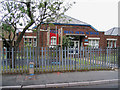
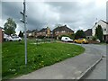
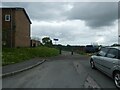
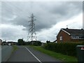
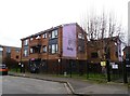
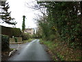
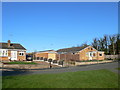
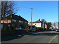
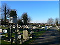
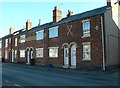
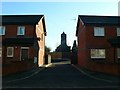
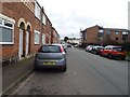
15 photos from this area
Area Information
Key information about the CH5 4YJ including its size, population, and administrative classification.
- Area Type
- Postcode
- Area Size
- 3207 m²
- Population
- 1210
- Population Density
- 5371 people/km²
House Prices in CH5 4YJ
10
Properties
£127,094
Average Sold Price
£102,000
Lowest Price
£155,000
Highest Price
Showing 10 properties
| Address | Type | Beds | Baths | Last Sale Price | Last Sale Date | |
|---|---|---|---|---|---|---|
| 11 Hornesby Close, Connahs Quay, CH5 4YJ | Semi-detached | 2 | 1 | £155,000 | Apr 2023 | |
| 5 Hornesby Close, Connahs Quay, CH5 4YJ | Semi-detached | 3 | - | £142,000 | Jul 2019 | |
| 1 Hornesby Close, Connahs Quay, CH5 4YJ | house | - | - | £118,000 | Jan 2013 | |
| 15 Hornesby Close, Connahs Quay, CH5 4YJ | house | 2 | 1 | £102,000 | Nov 2012 | |
| 3 Hornesby Close, Connahs Quay, CH5 4YJ | Semi-detached | - | - | £138,000 | Jan 2008 | |
| 2 Hornesby Close, Connahs Quay, CH5 4YJ | house | - | - | £130,000 | Nov 2007 | |
| 4 Hornesby Close, Connahs Quay, CH5 4YJ | Semi-detached | - | - | £122,000 | Jan 2007 | |
| 7 Hornesby Close, Connahs Quay, CH5 4YJ | house | 3 | - | £109,750 | Sep 2005 | |
| 9 Hornesby Close, Connahs Quay, CH5 4YJ | Semi-detached | - | - | - | - | |
| 17 Hornesby Close, Connahs Quay, CH5 4YJ | Semi-detached | - | - | - | - |
Energy Efficiency in CH5 4YJ
Amenities
Schools
| Rank | School | Type | Entry gender | Ages |
|---|
Explore more schools in this area
Go to Schools tabDemographics
Household Size
Family (3-5 people)
most common
Accommodation Type
Houses
most common
Tenure
74
majority
Ethnic Group
White
most common
Religion
N/A
most common
Household Composition
N/A
most common
Age
47
median
Adults (30-64 years)
most common
Household Deprivation
N/A
with no deprivation
NS-SEC
26
in Lower managerial occupations
Explore more demographic insights in this area
Go to Demographics tabPlanning
Planning Constraints
- Flood RiskPremium
- Ramsar Wetland SitesPremium
- Area of Outstanding Natural BeautyPremium
- Protected Nature ReservePremium
- Protected WoodlandPremium
- Crime RiskPremium