Area Overview for CH5 2PD
Photos of CH5 2PD
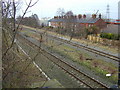
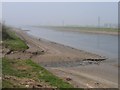
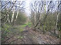
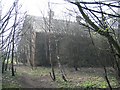
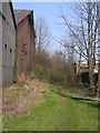
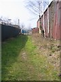
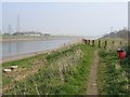
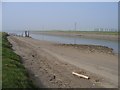
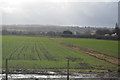
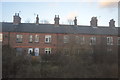
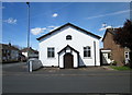
40 photos from this area
Area Information
Key information about the CH5 2PD including its size, population, and administrative classification.
- Area Type
- Postcode
- Area Size
- 1.7 hectares
- Population
- 1907
- Population Density
- 465 people/km²
House Prices in CH5 2PD
55
Properties
£149,100
Average Sold Price
£31,500
Lowest Price
£500,000
Highest Price
Showing 55 properties
| Address | Type | Beds | Baths | Last Sale Price | Last Sale Date | |
|---|---|---|---|---|---|---|
| 17A Phoenix Street, Sandycroft, CH5 2PD | house | 2 | 1 | £145,000 | Mar 2025 | |
| 123 Phoenix Street, Sandycroft, CH5 2PD | Detached | 3 | 1 | £200,000 | Jul 2024 | |
| 13 Phoenix Street, Sandycroft, CH5 2PD | house | - | - | £165,000 | Mar 2022 | |
| 21 Phoenix Street, Sandycroft, CH5 2PD | house | - | - | £123,000 | Dec 2020 | |
| Phoenix House, Phoenix Street, Sandycroft, CH5 2PD | hospital_care_home | - | - | £500,000 | Nov 2019 | |
| 7 Phoenix Street, Sandycroft, CH5 2PD | Detached | 4 | 1 | £225,000 | Sep 2019 | |
| 27 Phoenix Street, Sandycroft, CH5 2PD | Terraced | 2 | 1 | £110,000 | May 2019 | |
| 17 Phoenix Street, Sandycroft, CH5 2PD | Semi-detached | 3 | - | £115,000 | Nov 2016 | |
| Alandale, Phoenix Street, Sandycroft, CH5 2PD | Bungalow | - | - | £135,000 | Oct 2011 | |
| 25 Phoenix Street, Sandycroft, CH5 2PD | Terraced | 2 | 1 | £93,000 | Apr 2010 |
Page 1 of 6
Energy Efficiency in CH5 2PD
Amenities
Schools
| Rank | School | Type | Entry gender | Ages |
|---|
Explore more schools in this area
Go to Schools tabDemographics
Household Size
One person
most common
Accommodation Type
Houses
most common
Tenure
60
majority
Ethnic Group
White
most common
Religion
N/A
most common
Household Composition
N/A
most common
Age
47
median
Adults (30-64 years)
most common
Household Deprivation
N/A
with no deprivation
NS-SEC
19
in Lower managerial occupations
Explore more demographic insights in this area
Go to Demographics tabPlanning
Planning Constraints
- Flood RiskPremium
- Ramsar Wetland SitesPremium
- Area of Outstanding Natural BeautyPremium
- Protected Nature ReservePremium
- Protected WoodlandPremium
- Crime RiskPremium