Area Overview for CH5 1SX
Photos of CH5 1SX
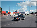
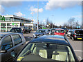
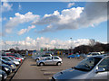
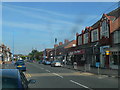
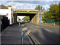


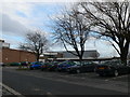
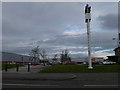
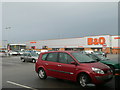
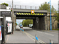
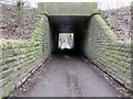
74 photos from this area
Area Information
Key information about the CH5 1SX including its size, population, and administrative classification.
- Area Type
- Postcode
- Area Size
- 1.0 hectares
- Population
- 1907
- Population Density
- 465 people/km²
House Prices in CH5 1SX
30
Properties
£72,667
Average Sold Price
£43,000
Lowest Price
£120,000
Highest Price
Showing 30 properties
| Address | Type | Beds | Baths | Last Sale Price | Last Sale Date | |
|---|---|---|---|---|---|---|
| 64 Station Road, Queensferry, CH5 1SX | Terraced | 2 | 1 | £55,000 | Aug 2015 | |
| 32C Station Road, Queensferry, CH5 1SX | Retail | - | - | £120,000 | Oct 2004 | |
| 68 Station Road, Queensferry, CH5 1SX | Terraced | - | - | £43,000 | Nov 2001 | |
| Flat, 36 Station Road, Queensferry, CH5 1SX | Maisonette | 2 | - | - | - | |
| 30A Station Road, Queensferry, CH5 1SX | Semi-detached | - | - | - | - | |
| Flat 1, 30A Station Road, Queensferry, CH5 1SX | Flat | - | - | - | - | |
| Flat 2, 32 Station Road, Queensferry, CH5 1SX | Flat | - | - | - | - | |
| M & Ems Ltd, 2 Station Road, Queensferry, CH5 1SX | Office | - | - | - | - | |
| Kfc, 2 Station Road, Queensferry, CH5 1SX | restaurant_cafe | - | - | - | - | |
| Ground Floor Flat, 54 Station Road, Queensferry, CH5 1SX | Flat | - | - | - | - |
Page 1 of 3
Energy Efficiency in CH5 1SX
Amenities
Schools
| Rank | School | Type | Entry gender | Ages |
|---|
Explore more schools in this area
Go to Schools tabDemographics
Household Size
One person
most common
Accommodation Type
Houses
most common
Tenure
60
majority
Ethnic Group
White
most common
Religion
N/A
most common
Household Composition
N/A
most common
Age
47
median
Adults (30-64 years)
most common
Household Deprivation
N/A
with no deprivation
NS-SEC
19
in Lower managerial occupations
Explore more demographic insights in this area
Go to Demographics tabPlanning
Planning Constraints
- Flood RiskPremium
- Ramsar Wetland SitesPremium
- Area of Outstanding Natural BeautyPremium
- Protected Nature ReservePremium
- Protected WoodlandPremium
- Crime RiskPremium